
2013_North Cap
Eine Sammlung von 13 Fahrradrouten, erstellt von Oschep Heinz.
Übersicht
Über diese Sammlung
The North Cap Tour - has been a fantastic experience. Throughout the three weeks we have seen a lot of the “higher north”, enjoyed marvellous nature and interesting sightseeing places. Planning a cycling tour up to North Cap has some difficulties. North of the Arctic Circle there is just a limited number of streets. You would expect that in this remote areas might be less traffic, but that is not always so. To avoid the most annoying traffic you should not use “E” roads, sadly this is not possible on few occasions.
- 13
- Routen
- -:--
- Dauer
- 1.562,3 km
- Distanz
- ---
- Ø-Tempo
- 6.238 m
- Aufstieg
- 5.968 m
- Abstieg
Erstellt vor 9 Jahren
2013_North Cap
Routen in dieser Sammlung
Alle 13 Routen in dieser Sammlung können auf der Karte oder in der Bikemap App geöffnet werden, wo du sie im Routenplaner anpassen oder als GPX- oder KML-Datei herunterladen kannst. Nutze sie als Vorlage für die Planung deiner eigenen Fahrten oder lass dich von Bikemap direkt entlang der Routen navigieren.

Lulea - Kalix
Fahrradtour in Luleå, Norrbottens län, Schweden
- 101,7 km
- Distanz
- 167 m
- Aufstieg
- 168 m
- Abstieg

Kalix - Ylitornio
Fahrradtour in Rolfs, Norrbottens län, Schweden
- 95 km
- Distanz
- 421 m
- Aufstieg
- 378 m
- Abstieg

Ylitornio - Rovaniemi
Fahrradtour in Ylitornio, Lappland, Finnland
- 120,2 km
- Distanz
- 315 m
- Aufstieg
- 264 m
- Abstieg

Rovaniemi - Raudanjoki
Fahrradtour in Rovaniemi, Lappland, Finnland
- 99,4 km
- Distanz
- 409 m
- Aufstieg
- 310 m
- Abstieg

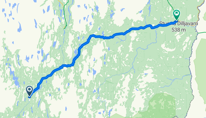
Raudanjoki - Kittila
- 170,5 km
- Distanz
- 280 m
- Aufstieg
- 308 m
- Abstieg

Kittila - Enontekio
Fahrradtour in Kittilä, Lappland, Finnland
- 142,6 km
- Distanz
- 269 m
- Aufstieg
- 141 m
- Abstieg

Enontekio - Kautokeino
Fahrradtour in Enontekiö, Lappland, Finnland
- 84,4 km
- Distanz
- 286 m
- Aufstieg
- 259 m
- Abstieg
Kautokeion - Karasjok
Fahrradtour in Kautokeino, Finnmark, Norwegen
- 127,6 km
- Distanz
- 328 m
- Aufstieg
- 510 m
- Abstieg

Karasjok - Olderfjord
Fahrradtour in Kárášjohka, Finnmark, Norwegen
- 139,4 km
- Distanz
- 504 m
- Aufstieg
- 641 m
- Abstieg

Olderfjord - Honnigvag
- 103,5 km
- Distanz
- 1.121 m
- Aufstieg
- 1.199 m
- Abstieg

Harstad - Riksgränsen
Fahrradtour in Harstad, Troms, Norwegen
- 155,1 km
- Distanz
- 1.372 m
- Aufstieg
- 876 m
- Abstieg

Riksgränsen - Kiruna
- 136,2 km
- Distanz
- 512 m
- Aufstieg
- 475 m
- Abstieg