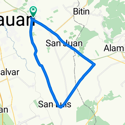
Moderate route
- 27 km
- 314 m
- 323 m
- Tanauan City, Calabarzon, Philippinen

Entdecke eine Karte mit 222 Radrouten und Radwegen rund um Tanauan City, erstellt von unserer Community.
Regionenporträt
Finde die richtige Fahrradroute in Tanauan City, wo wir 222 Fahrradrouten für dich zum Erkunden haben. Die meisten Leute fahren hier in den Monaten August und September Fahrrad.
13.166 km
Aufgezeichnete Strecken
222
Fahrradrouten
68.456
Einwohner
Community
Von unserer Community


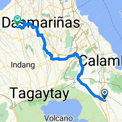
Fahrradtour in Tanauan City, Calabarzon, Philippinen


Fahrradtour in Tanauan City, Calabarzon, Philippinen

Fahrradtour in Tanauan City, Calabarzon, Philippinen
Fahrradtour in Tanauan City, Calabarzon, Philippinen