


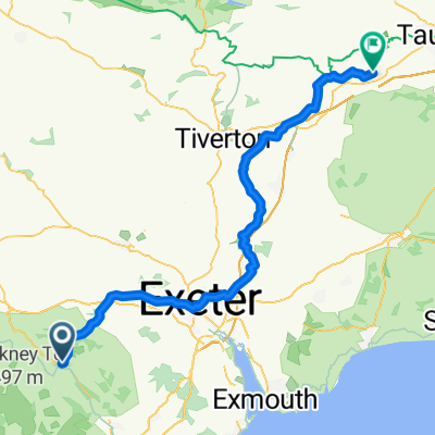
Station Road nach North Street
- 73,3 km
- 1.092 m
- 1.213 m
- Bovey Tracey, England, Vereinigtes Königreich

Finde die richtige Fahrradroute in Bovey Tracey, wo wir 204 Fahrradrouten für dich zum Erkunden haben. Die meisten Leute fahren hier in den Monaten Juli und September Fahrrad.
Aufgezeichnete Strecken
Fahrradrouten
Einwohner


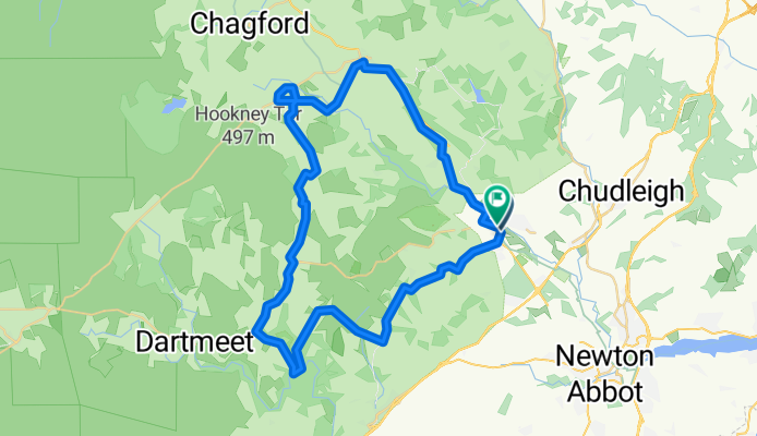
Fahrradtour in Bovey Tracey, England, Vereinigtes Königreich
Fahrradtour in Bovey Tracey, England, Vereinigtes Königreich
Fahrradtour in Bovey Tracey, England, Vereinigtes Königreich
Fahrradtour in Bovey Tracey, England, Vereinigtes Königreich


