


Verneuil-sur-Avre mit dem Fahrrad
Entdecke eine Karte mit 30 Radrouten und Radwegen rund um Verneuil-sur-Avre, erstellt von unserer Community.
Regionenporträt
Lerne Verneuil-sur-Avre kennen
Finde die richtige Fahrradroute in Verneuil-sur-Avre, wo wir 30 Fahrradrouten für dich zum Erkunden haben.
1.405 km
Aufgezeichnete Strecken
30
Fahrradrouten
7.229
Einwohner
Community
Die aktivsten Nutzer in Verneuil-sur-Avre
Von unserer Community
Die besten Fahrradrouten in und um Verneuil-sur-Avre
2009 Euro Tour -- Ride Day 20 — 15 July 2009 — 27130 Verneuil-sur-Avre to 14100 Lisieux CLONED FROM ROUTE 1682062
Fahrradtour in Verneuil-sur-Avre, Normandie, Frankreich
- 80,4 km
- Distanz
- 250 m
- Aufstieg
- 281 m
- Abstieg
Verneuil - Saint Sylvestre de Cormeilles
Fahrradtour in Verneuil-sur-Avre, Normandie, Frankreich
- 93,5 km
- Distanz
- 168 m
- Aufstieg
- 203 m
- Abstieg
De Place Saint-Jean 151, Verneuil d'Avre et d'Iton à Grande Rue 47, Le Gault-Perche
Fahrradtour in Verneuil-sur-Avre, Normandie, Frankreich
- 100,5 km
- Distanz
- 879 m
- Aufstieg
- 841 m
- Abstieg
V2 Verneuil-s-Arve / Paris 140km
Fahrradtour in Verneuil-sur-Avre, Normandie, Frankreich
- 140,7 km
- Distanz
- 361 m
- Aufstieg
- 475 m
- Abstieg
Mehr Routen entdecken
- Alle Routen in Verneuil-sur-Avre
- Rundwege
- Entspannt
- Gravel
- Rennrad
- MTB
- Trekking


 De 17 Place de la Madeleine, Verneuil-sur-Avre à 18bis Boulevard Vaugeois, L'Aigle0
- 28,5 km
- 137 m
- 78 m
- Verneuil-sur-Avre, Normandie, Frankreich
 Verneuil d'Avre et d'Iton to Rue ville Close 3, Bellême0
- 54 km
- 571 m
- 523 m
- Verneuil-sur-Avre, Normandie, Frankreich

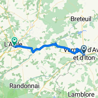
 Verneuil-sur-Avre, Verneuil d'Avre et d'Iton à Piseux0
- 33,3 km
- 105 m
- 105 m
- Verneuil-sur-Avre, Normandie, Frankreich
 Verneuil-sur-Avre, Verneuil d'Avre et d'Iton à Piseux0
- 30,4 km
- 122 m
- 122 m
- Verneuil-sur-Avre, Normandie, Frankreich
 12–72 Route de Mortagne, Verneuil d'Avre et d'Iton à Les Barils0
- 9,3 km
- 164 m
- 142 m
- Verneuil-sur-Avre, Normandie, Frankreich


