Sainte-Victoire / Verdon
- 71,2 km
- 878 m
- 882 m
- Pourrières, Provence-Alpes-Côte d’Azur, Frankreich

Entdecke eine Karte mit 24 Radrouten und Radwegen rund um Pourrières, erstellt von unserer Community.
Regionenporträt
Finde die richtige Fahrradroute in Pourrières, wo wir 24 Fahrradrouten für dich zum Erkunden haben.
1.234 km
Aufgezeichnete Strecken
24
Fahrradrouten
4.292
Einwohner
Von unserer Community
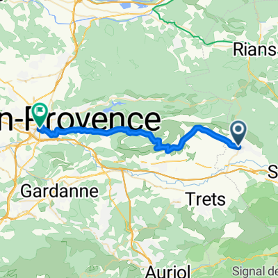
Fahrradtour in Pourrières, Provence-Alpes-Côte d’Azur, Frankreich
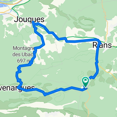
Fahrradtour in Pourrières, Provence-Alpes-Côte d’Azur, Frankreich
Fahrradtour in Pourrières, Provence-Alpes-Côte d’Azur, Frankreich
Fahrradtour in Pourrières, Provence-Alpes-Côte d’Azur, Frankreich