


Nogent-sur-Oise mit dem Fahrrad
Entdecke eine Karte mit 34 Radrouten und Radwegen rund um Nogent-sur-Oise, erstellt von unserer Community.
Regionenporträt
Lerne Nogent-sur-Oise kennen
Finde die richtige Fahrradroute in Nogent-sur-Oise, wo wir 34 Fahrradrouten für dich zum Erkunden haben.
2.568 km
Aufgezeichnete Strecken
34
Fahrradrouten
19.690
Einwohner
Community
Die aktivsten Nutzer in Nogent-sur-Oise
Von unserer Community
Die besten Fahrradrouten in und um Nogent-sur-Oise
Creil - Pierrefonds
Fahrradtour in Nogent-sur-Oise, Hauts-de-France, Frankreich
- 80,8 km
- Distanz
- 337 m
- Aufstieg
- 264 m
- Abstieg

a l'aventure
Fahrradtour in Nogent-sur-Oise, Hauts-de-France, Frankreich
- 35,5 km
- Distanz
- 429 m
- Aufstieg
- 423 m
- Abstieg
Essone - 80km
Fahrradtour in Nogent-sur-Oise, Hauts-de-France, Frankreich
- 79,2 km
- Distanz
- 259 m
- Aufstieg
- 237 m
- Abstieg
AVC Ride #4 :: Creil - Conflans
Fahrradtour in Nogent-sur-Oise, Hauts-de-France, Frankreich
- 62,2 km
- Distanz
- 130 m
- Aufstieg
- 134 m
- Abstieg
Mehr Routen entdecken
- Alle Routen in Nogent-sur-Oise
- Rundwege
- Entspannt
- Gravel
- Rennrad
- MTB
- Trekking

 32 Place du Général de Gaulle, Creil à 12 Place du Parvis Notre-Dame, Senlis0
- 17,6 km
- 151 m
- 103 m
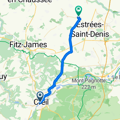
- Nogent-sur-Oise, Hauts-de-France, Frankreich
 Rue Jean Jaurès 61, Creil naar Place de l'Église 1, Grandvillers-aux-Bois0
- 27,5 km
- 169 m
- 114 m
- Nogent-sur-Oise, Hauts-de-France, Frankreich


 32 Place du Général de Gaulle, Creil à 12 Place du Parvis Notre-Dame, Senlis0
- 12 km
- 104 m
- 58 m
- Nogent-sur-Oise, Hauts-de-France, Frankreich


