
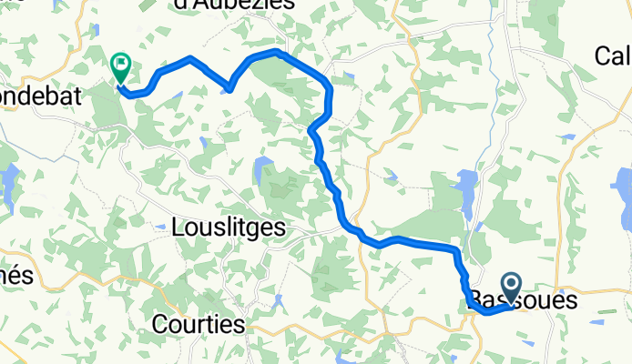


R Marciac Lourdes
- 79,6 km
- 880 m
- 661 m
- Marciac, Occitanie, Frankreich

Finde die richtige Fahrradroute in Marciac, wo wir 18 Fahrradrouten für dich zum Erkunden haben.
Aufgezeichnete Strecken
Fahrradrouten
Einwohner
Fahrradtour in Marciac, Occitanie, Frankreich
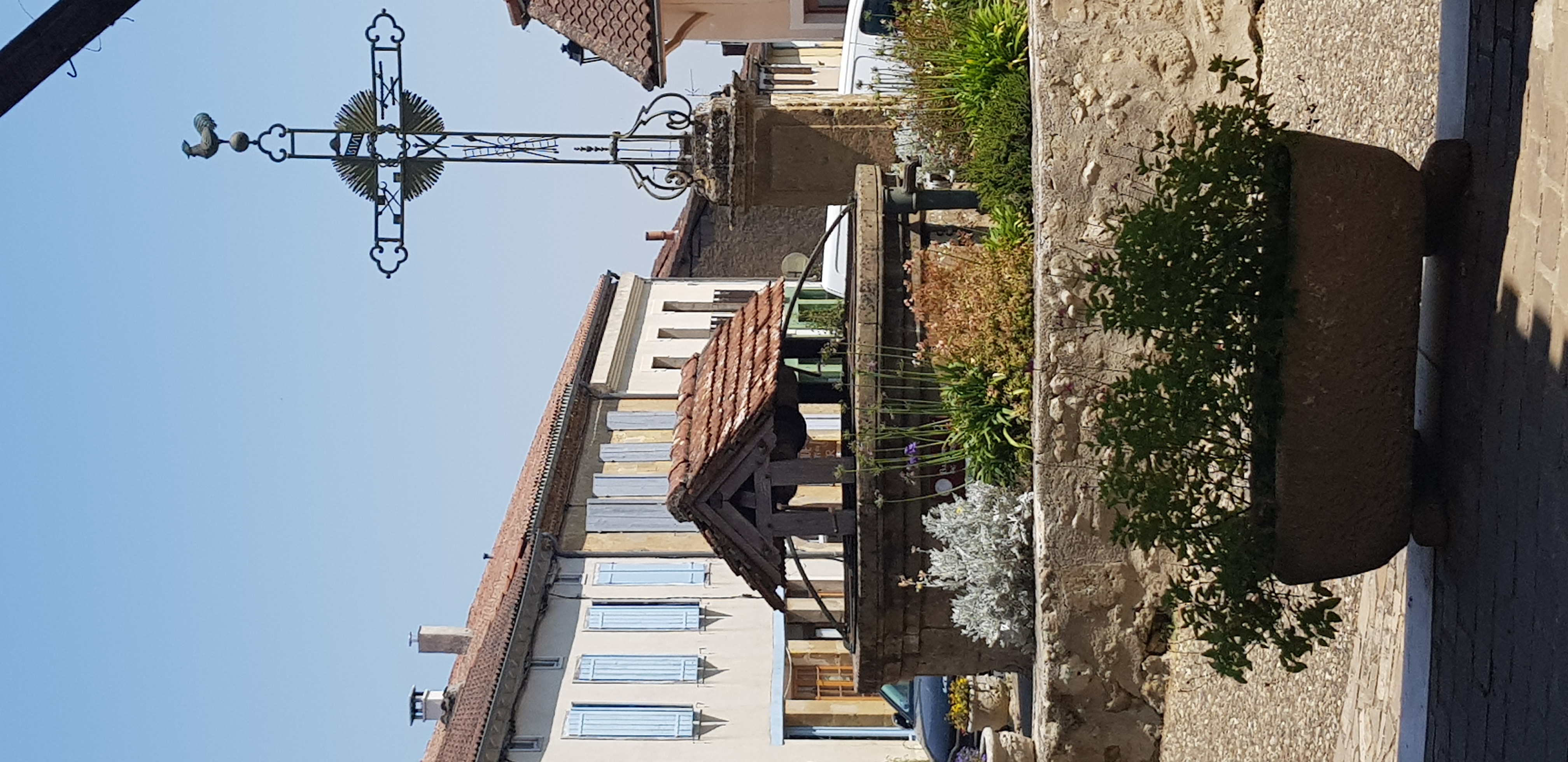
Fahrradtour in Marciac, Occitanie, Frankreich
Fahrradtour in Marciac, Occitanie, Frankreich
Fahrradtour in Marciac, Occitanie, Frankreich


