Égletons mit dem Fahrrad
Entdecke eine Karte mit 66 Radrouten und Radwegen rund um Égletons, erstellt von unserer Community.
Regionenporträt
Lerne Égletons kennen
Finde die richtige Fahrradroute in Égletons, wo wir 66 Fahrradrouten für dich zum Erkunden haben. Die meisten Leute fahren hier in den Monaten Juni und September Fahrrad.
7.444 km
Aufgezeichnete Strecken
66
Fahrradrouten
5.316
Einwohner
Community
Die aktivsten Nutzer in Égletons
Von unserer Community
Die besten Fahrradrouten in und um Égletons
etape 8 Argentat
Fahrradtour in Égletons, Nouvelle-Aquitaine, Frankreich
- 56,5 km
- Distanz
- 817 m
- Aufstieg
- 1.255 m
- Abstieg
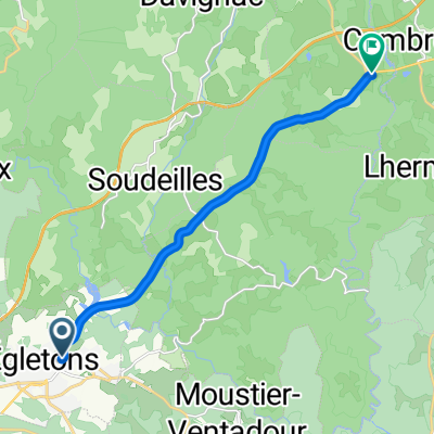
Égletons - La Courtine
Fahrradtour in Égletons, Nouvelle-Aquitaine, Frankreich
- 89,6 km
- Distanz
- 1.790 m
- Aufstieg
- 1.886 m
- Abstieg


Marcillac-la-Croisille to Bugeat - V87
Fahrradtour in Égletons, Nouvelle-Aquitaine, Frankreich
- 70,3 km
- Distanz
- 1.015 m
- Aufstieg
- 948 m
- Abstieg
Égletons - Bretenoux
Fahrradtour in Égletons, Nouvelle-Aquitaine, Frankreich
- 76,5 km
- Distanz
- 1.438 m
- Aufstieg
- 1.895 m
- Abstieg
Mehr Routen entdecken
- Alle Routen in Égletons
- Rundwege
- Entspannt
- Gravel
- Rennrad
- MTB
- Trekking


 Égletons bis Clermont-Ferrand optimiert0
- 125,5 km
- 2.153 m
- 2.363 m
- Égletons, Nouvelle-Aquitaine, Frankreich