


Contrexéville mit dem Fahrrad
Entdecke eine Karte mit 66 Radrouten und Radwegen rund um Contrexéville, erstellt von unserer Community.
Regionenporträt
Lerne Contrexéville kennen
Finde die richtige Fahrradroute in Contrexéville, wo wir 66 Fahrradrouten für dich zum Erkunden haben. Die meisten Leute fahren hier in den Monaten Mai und Juli Fahrrad.
3.140 km
Aufgezeichnete Strecken
66
Fahrradrouten
4.181
Einwohner
Community
Die aktivsten Nutzer in Contrexéville
Von unserer Community
Die besten Fahrradrouten in und um Contrexéville
2009 Euro Tour -- Ride Day 28 — 27 July 2009 — 88140 Contrexéville to 88000 Epinal
Fahrradtour in Contrexéville, Grand Est, Frankreich
- 61,1 km
- Distanz
- 378 m
- Aufstieg
- 352 m
- Abstieg

76 Rue François Villon, Contrexéville à 76 Rue François Villon, Contrexéville
Fahrradtour in Contrexéville, Grand Est, Frankreich
- 29,9 km
- Distanz
- 350 m
- Aufstieg
- 358 m
- Abstieg
Tour de France 4.Etappe Vittel - Beaune
Fahrradtour in Contrexéville, Grand Est, Frankreich
- 218,5 km
- Distanz
- 1.152 m
- Aufstieg
- 1.295 m
- Abstieg
76 Rue François Villon, Contrexéville à 76 Rue François Villon, Contrexéville
Fahrradtour in Contrexéville, Grand Est, Frankreich
- 17,2 km
- Distanz
- 235 m
- Aufstieg
- 232 m
- Abstieg
Mehr Routen entdecken
- Alle Routen in Contrexéville
- Rundwege
- Entspannt
- Gravel
- Rennrad
- MTB
- Trekking

 76 Rue François Villon, Contrexéville à 76 Rue François Villon, Contrexéville0
- 26,6 km
- 337 m
- 341 m
- Contrexéville, Grand Est, Frankreich
 De 788 Rue de Normandie, Contrexéville à 788 Rue de Normandie, Contrexéville0
- 18,9 km
- 302 m
- 301 m
- Contrexéville, Grand Est, Frankreich
 De 10 Rue François Villon, Contrexéville à 10 Rue François Villon, Contrexéville0
- 24,7 km
- 438 m
- 438 m
- Contrexéville, Grand Est, Frankreich
 76 Rue François Villon, Contrexéville à 76 Rue François Villon, Contrexéville0
- 28,2 km
- 429 m
- 429 m
- Contrexéville, Grand Est, Frankreich
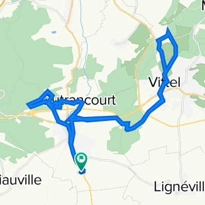
 Rue de la Grande Duchesse Wladimir, Contrexéville à 76 Rue François Villon, Contrexéville0
- 13,4 km
- 485 m
- 465 m
- Contrexéville, Grand Est, Frankreich

 10 Rue François Villon, Contrexéville à 10 Rue François Villon, Contrexéville0
- 26,2 km
- 1.363 m
- 1.362 m
- Contrexéville, Grand Est, Frankreich


