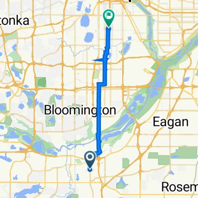
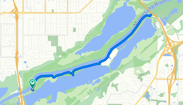
Bloomington to Bluff Trail, Bloomington
- 13,3 km
- 13 m
- 9 m
- Burnsville, Minnesota, Vereinigte Staaten

Entdecke eine Karte mit 174 Radrouten und Radwegen rund um Burnsville, erstellt von unserer Community.
Regionenporträt
Finde die richtige Fahrradroute in Burnsville, wo wir 174 Fahrradrouten für dich zum Erkunden haben. Die meisten Leute fahren hier in den Monaten Juni und August Fahrrad.
3.765 km
Aufgezeichnete Strecken
174
Fahrradrouten
60.306
Einwohner
Community
Von unserer Community


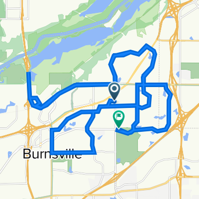
Fahrradtour in Burnsville, Minnesota, Vereinigte Staaten


Fahrradtour in Burnsville, Minnesota, Vereinigte Staaten

Fahrradtour in Burnsville, Minnesota, Vereinigte Staaten

Fahrradtour in Burnsville, Minnesota, Vereinigte Staaten
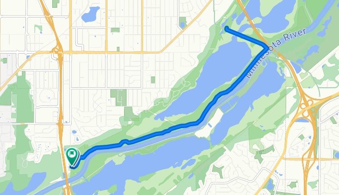
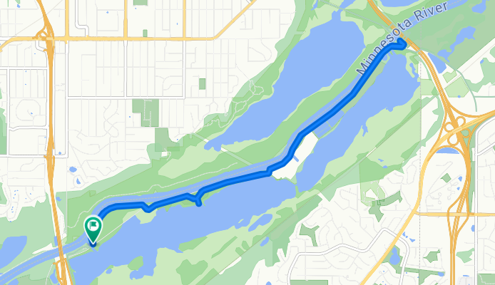
Tagesausflug mit dem Fahrrad von
Tagesausflug mit dem Fahrrad von