Mount Holly Springs mit dem Fahrrad
Entdecke eine Fahrradkarte von Mount Holly Springs mit hervorgehobenen Radwegen, Pfaden und relevanten Orten.
Pioniere gesucht
Inspiriere andere Radfahrer mit deiner Route in Mount Holly Springs
Bikemap ist eine globale Fahrrad-Community mit Millionen von Routen, die von Radfahrern wie dir erstellt wurden. Es gibt bisher nur wenige Routen in Mount Holly Springs, also zeichne deine Lieblingsstrecken jetzt auf der Karte ein, um anderen zu helfen, die besten Radrouten zu finden.
Von unserer Community
Die besten Fahrradrouten in und um Mount Holly Springs
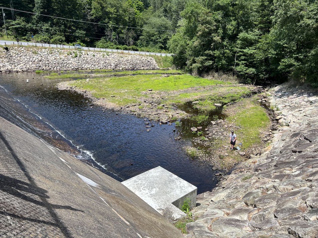
Laurel Lake, Cold Spring Road, Pine Grove Furnace Campground
Fahrradtour in Mount Holly Springs, Pennsylvanien, Vereinigte Staaten
I recorded this route while biking. Good ride and would do it again, but a lot of uphill climbing on the Cold Spring Rd. portion. It was a necessary evil and a lot of fun coming back down on Michaux Rd.
- 21,9 km
- Distanz
- 269 m
- Aufstieg
- 434 m
- Abstieg
Michaux State Forest
Fahrradtour in Mount Holly Springs, Pennsylvanien, Vereinigte Staaten
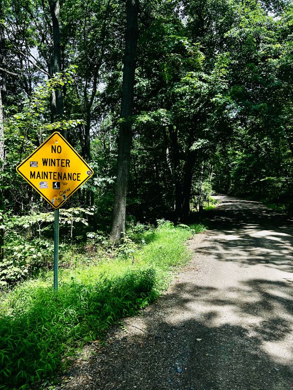
Start at the Laurel Lake parking area and take Cold Spring Rd north. CSR is up, up, up, and then a little more up. About 2.3 miles that starts paved, moves to large gravel for a short stretch, and then goes to small gravel for the remainder. But for real, it's literally all uphill.
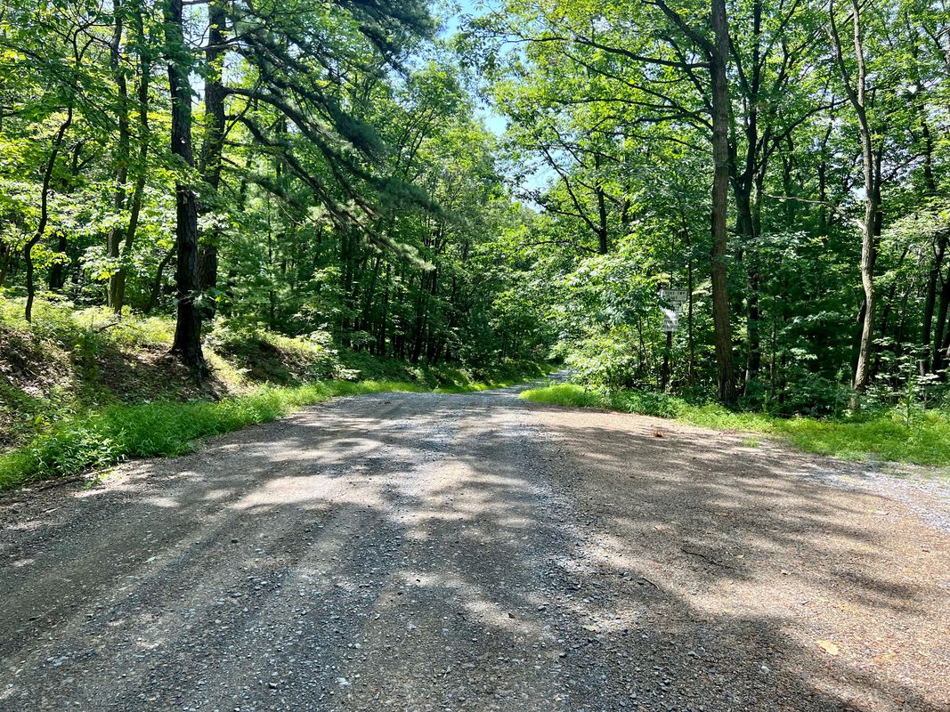
Take Ridge Road west and it's a fun gravel ride with some ups and downs. There are a couple of road crossings, but nothing awful.
Take Michaux Rd downhill. This is a paved blacktop road and can be fast if you want it to be.
Turn east onto Pine Grove Road. This is a 35 mph road with very little shoulder. Most people who passed were decent about it.
Optionally, take a tour onto Bendersville Road and go check out the campground. Bathrooms and water refills are possible here.
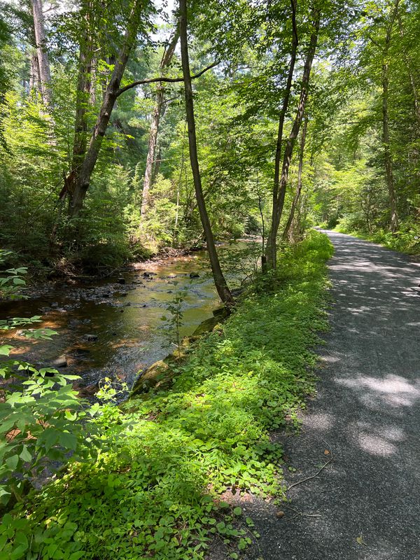
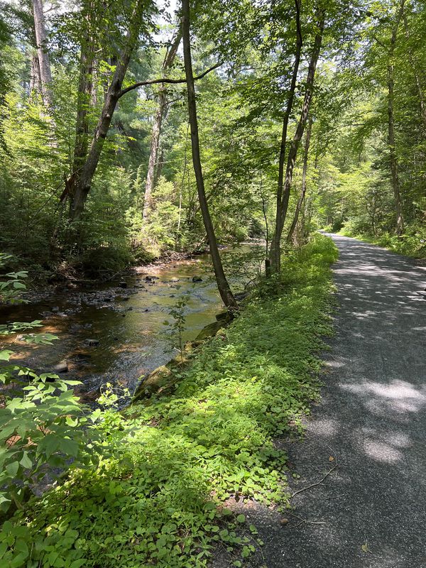
Then take the Biking/Hiking Rail Trail through to Fuller Lake and then on to Laurel Lake. The Biking/Hiking trail is mostly gravel but switches to be paved when it becomes Railroad Bed Rd.
Make a left (west) turn onto Pine Grove Road to get back to the Laurel Lake parking area.
- 23,6 km
- Distanz
- 368 m
- Aufstieg
- 372 m
- Abstieg