Coalville mit dem Fahrrad
Entdecke eine Karte mit 22 Radrouten und Radwegen rund um Coalville, erstellt von unserer Community.
Regionenporträt
Lerne Coalville kennen
Finde die richtige Fahrradroute in Coalville, wo wir 22 Fahrradrouten für dich zum Erkunden haben.
1.153 km
Aufgezeichnete Strecken
22
Fahrradrouten
1.363
Einwohner
Community
Die aktivsten Nutzer in Coalville
Von unserer Community
Die besten Fahrradrouten in und um Coalville

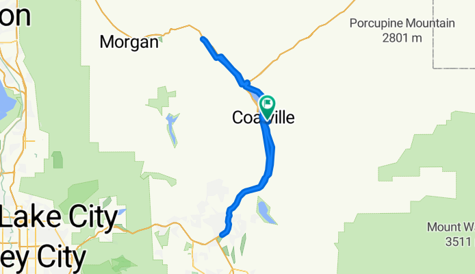
CROYDON DEATH LOOP
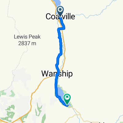
Fahrradtour in Coalville, Utah, Vereinigte Staaten
- 17,3 km
- Distanz
- ---
- Aufstieg
- ---
- Abstieg

Pioneer Drive to Pioneer Drive
Fahrradtour in Coalville, Utah, Vereinigte Staaten
- 34 km
- Distanz
- 219 m
- Aufstieg
- 204 m
- Abstieg
Pioneer Drive to Pioneer Drive
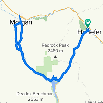
Fahrradtour in Coalville, Utah, Vereinigte Staaten
- 96,6 km
- Distanz
- 542 m
- Aufstieg
- 522 m
- Abstieg

North Main Street to Pioneer Drive
Fahrradtour in Coalville, Utah, Vereinigte Staaten
- 43,5 km
- Distanz
- 170 m
- Aufstieg
- 130 m
- Abstieg
Mehr Routen entdecken
- Alle Routen in Coalville
- Rundwege
- Entspannt
- Gravel
- Rennrad
- MTB
- Trekking
- 430 Echo Dam Rd, Coalville to Union Pacific Rail Trail, Coalville0
- 22,4 km
- 199 m
- 196 m
- Coalville, Utah, Vereinigte Staaten