Sault Ste. Marie mit dem Fahrrad
Entdecke eine Karte mit 59 Radrouten und Radwegen rund um Sault Ste. Marie, erstellt von unserer Community.
Regionenporträt
Lerne Sault Ste. Marie kennen
Finde die richtige Fahrradroute in Sault Ste. Marie, wo wir 59 Fahrradrouten für dich zum Erkunden haben. Die meisten Leute fahren hier in den Monaten Mai und August Fahrrad.
16.735 km
Aufgezeichnete Strecken
59
Fahrradrouten
74.948
Einwohner
Community
Die aktivsten Nutzer in Sault Ste. Marie
Von unserer Community
Die besten Fahrradrouten in und um Sault Ste. Marie

Elliott Rd, Sault Ste. Marie to Carufel Ave, Sault Ste. Marie
Fahrradtour in Sault Ste. Marie, Ontario, Kanada
- 84,5 km
- Distanz
- 1.264 m
- Aufstieg
- 1.277 m
- Abstieg

Huron - Day 4-Sault Ste Marie to Blind River
Fahrradtour in Sault Ste. Marie, Ontario, Kanada
- 139,1 km
- Distanz
- 242 m
- Aufstieg
- 251 m
- Abstieg


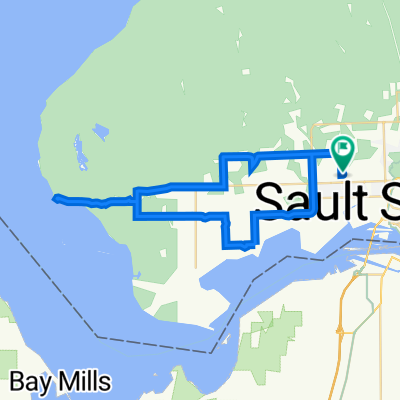
Waterfront Trail Northern Ontario: Sault Ste. Marie to Sault Ste. Marie - Hub Trail
Fahrradtour in Sault Ste. Marie, Ontario, Kanada
- 11 km
- Distanz
- 12 m
- Aufstieg
- 71 m
- Abstieg
Mehr Routen entdecken
- Alle Routen in Sault Ste. Marie
- Rundwege
- Entspannt
- Gravel
- Rennrad
- MTB
- Trekking
- 50 Eastern Ave, Sault Ste. Marie to 54 Eastern Ave, Sault Ste. Marie1
- 25,1 km
- 96 m
- 100 m
- Sault Ste. Marie, Ontario, Kanada
- 495 Industrial Park Cres, Sault Ste. Marie to 699 Trunk Rd, Sault Ste. Marie1
- 8,9 km
- 29 m
- 64 m
- Sault Ste. Marie, Ontario, Kanada
- 727 River Rd, Sault Ste. Marie to 54 Eastern Ave, Sault Ste. Marie1
- 5,5 km
- 20 m
- 9 m
- Sault Ste. Marie, Ontario, Kanada
- 50 Eastern Ave, Sault Ste. Marie to 699 Trunk Rd, Sault Ste. Marie1
- 24,2 km
- 78 m
- 79 m
- Sault Ste. Marie, Ontario, Kanada