

Von Toblach bis Vittorio Veneto
- 128,6 km
- 2.486 m
- 3.575 m
- Toblach, Trentino-Südtirol, Italien
Eine Fahrradroute, die in Toblach, Trentino-Südtirol, Italien beginnt.
Übersicht
More about the Drava Cycle Route:
https://www.cyclingthread.com/cycling-in-austria-drava-cycle-route-in-carinthia
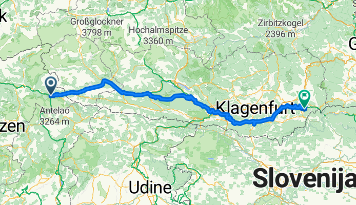
The Drava Cycle Route (Drauradweg) is one of only four European routes awarded the top five-star rating by the ADFC, and its central section through Carinthia shows off some of Austrias most beautiful summer scenery. The full route stretches for about 510 kilometers from Dobbiaco in Italy via Lienz, Villach, Ferlach and Völkermarkt to Aich/Dob in Austria. In Carinthia you ride on well-maintained cycling roads, past lakes and rivers, with views of mountains and stops in historic towns. A highlight is the cycling path that runs 100 meters above the river under the Jauntalbrücke railway bridge. The infrastructure is excellent, with clear signage, bike-friendly accommodation and services coordinated by the Drava Route Hosts Association. Most of the route is easy and flat along the Drava valley, though sporty riders can add climbs like the Weissensee. Altogether the Drava Cycle Route combines scenery, comfort and variety, making it a great choice for a summer cycling trip.
Erstellt vor 7 Monaten


Routenqualität
Radweg
106,7 km
37 %
Forst- / Feldweg
63,4 km
22 %
Befestigt
175,9 km
(61 %)
Unbefestigt
75 km
(26 %)
Asphalt
173 km
60 %
Schotter
54,8 km
19 %
Weiter mit Bikemap
Du möchtest Drava Cycle Route - Toblach to Aich/Dob fahren oder sie für deine eigene Reise anpassen? Folgendes kannst du mit dieser Bikemap-Route machen:
Kostenlose Testversion für 3 Tage oder einmalige Zahlung. Mehr über Bikemap Premium.
Entdecke weitere Premium-Funktionen.
Bikemap Premium aktivierenVon unserer Community
In der App öffnen


