

alternative
- 250,2 km
- 4.610 m
- 5.248 m
- Valloire, Auvergne-Rhône-Alpes, Frankreich
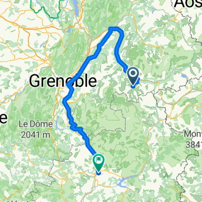
104 km, 2397 m, 1 Kat. 1, 1 HC Col
Nach einer guten Nacht beginnt Tag 4 hart. Nach 18 km ist der Galibier ein Ungeheuer, ohne Schatten und viel Exposure, der Höhenunterschied beträgt 1216 m. Diese Exposure und die atemberaubenden Ausblicke lassen dich auf der Weltoberfläche fühlen. Der steile 37 km Abstieg führt dich durch einige schöne und unerwartete Landschaften nach Briancon, wo der zweite Anstieg des Tages beginnt. Der Col d'Izoard, der Anstieg bei 18 km, ist nach den letzten Tagen des Fahrens herausfordernd, führt aber durch einige entzückende Alpen-Dörfer, um dein Interesse zu wecken. Der Abstieg führt uns nach Guillestre durch die fantastischen Landschaften kahler Geröllhänge, die von riesigen Felsensäulen durchbrochen werden.
Unterkunft: Hotel Le Catinat Fleuri, GUILLESTRE Tel: 0492450762
Ruhige Straße
3,1 km3 %Undefiniert
101,5 km97 %Befestigt
72,2 km(69 %)Asphalt
72,2 km69 %Undefiniert
32,5 km31 %Kostenlose Testversion für 3 Tage oder einmalige Zahlung. Mehr über Bikemap Premium.
Entdecke weitere Premium-Funktionen.
Bikemap Premium aktivierenIn der App öffnen


