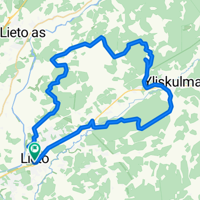
Premium Badge Aus dem App Store herunterladen Hol dir Bikemap auf Google Play Turn-by-Turn-Navigation Offline Maps Bike Type Optimized Routing Premium Maps Individueller Fahrradcomputer Routen-Export Route Previews Sturzerkennung Premium Support

Radroute in Lieto, Southwest Finland, Finnland

Lieto - Ukura, paths mapping

0
Route in der Bikemap App öffnen

Route in der Bikemap App öffnen

Diese Route in Bikemap Web öffnen

Diese Route in Bikemap Web öffnen

22 km
Distanz
131 m
Aufstieg
131 m
Abstieg
-:-- h
Dauer
-- km/h
ø-Tempo
--- m
Max. Höhe

Über diese Route

<div> The route also goes through the forest logging area, where I tried cleaning up, bigger branches off to the side route. There was still a lot of branches that may degrade the transmission, so be careful. The logging area is approximately 100-200m after which it is already clear path. </div> <div>  </div> <div> The route in the middle of a condition you see a big change to the south Esko-Ukura the road. the path is almost overgrown so I do not recommend it for much of that route. </div> <div>  </div> <div> The route goes to the local horse-riding space area so be careful if traffic is horses, not afraid to try off-road cyclists. </div> <div>  </div> <div> In fact, I use the time for ringing the bell, I will not suddenly the horse's field of vision.</div>

Diese Fahrradroute ist ideal für: MTB

Du fährst auf folgendem Untergrund: Schotter

Passe diese Fahrradroute mit dem Bikemap-Routenplaner an.

Passe diese Route an!

Wusstest du schon? Du kannst diese Route als Vorlage in unserem Routenplaner verwenden, und sie ganz einfach nach deinen Bedürfnissen anpassen. So planst du noch schneller deine perfekte Radtour.

In der App öffnen