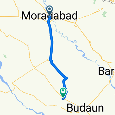
Ram Ganga Vihar, Moradabad to Moradabad, Moradabad
- 5,8 km
- 20 m
- 22 m
- Morādābād, Uttar Pradesh, Indien
Eine Fahrradroute, die in Morādābād, Uttar Pradesh, Indien beginnt.
Übersicht
Der Clash of Nations führt die World Tour nach Indien für ein hartes Rennen, das im südlichen Himalaya endet. Bevor das Feld jedoch die höchste Bergkette der Welt erreicht, müssen sie einen bedeutenden Teil Nordindiens durchqueren. Die Schlacht entbrennt in Moradabad, einer Stadt mit fast einer Million Einwohnern, die für 85 % der Metallwarenexporte des Landes verantwortlich ist.
Direkt nordöstlich, durch Tanda, Bazpur bis nach Kaladhungi, steigt die Straße langsam, aber sicher an, während die mächtigen Gipfel des Himalaya in der Ferne auftauchen. Am Jim Corbett Museum nimmt das Peloton eine scharfe Linkskurve und beginnt den absolut brutalen Aufstieg nach Nainital. Diese wellige Straße erreicht nie eine steile Steigung, aber 30 Kilometer und ein Höhengewinn von fast 1500 Metern werden das Peloton sehnsüchtig nach einem Abfahrtabschnitt suchen lassen.
In Nainital, das rund um den berühmten Nainital-See gebaut ist, biegen die Fahrer links auf die lokale Runde von 37 Kilometern ab, die dreimal absolviert werden muss. Während der Abfahrtsteil relativ einfach ist, ist der Aufstieg auf der Runde nicht zu unterschätzen. Besonders die 500 Meter im Devidhura-Abschnitt mit maximalen Steigungen von bis zu 22 % sorgen dafür, dass nur die besten Kletterer eine Siegchance haben. Die Ziellinie ist auf der Mall Road gezogen, mit Blick auf den Nainital-See. Ein beeindruckender Anblick für die Zuschauer, aber wohl nicht in den Köpfen der Radfahrer, die das Ziel erreichen.
Erstellt vor 11 Jahren
Weiter mit Bikemap
Du möchtest CoN Delhi fahren oder sie für deine eigene Reise anpassen? Folgendes kannst du mit dieser Bikemap-Route machen:
Kostenlose Testversion für 3 Tage oder einmalige Zahlung. Mehr über Bikemap Premium.
Entdecke weitere Premium-Funktionen.
Bikemap Premium aktivierenVon unserer Community
In der App öffnen