MBO 27. Morzine to Margencel
- 42,6 km
- 927 m
- 1.518 m
- Morzine, Auvergne-Rhône-Alpes, Frankreich
Eine Fahrradroute, die in Morzine, Auvergne-Rhône-Alpes, Frankreich beginnt.
Übersicht
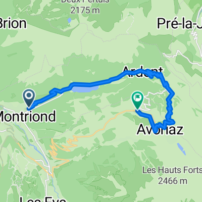
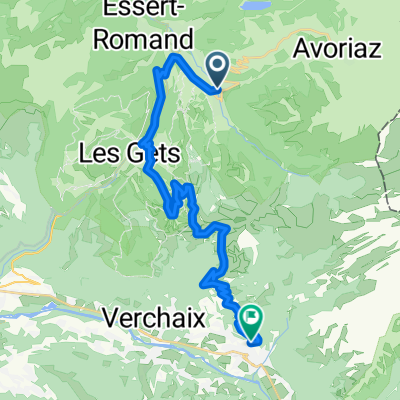
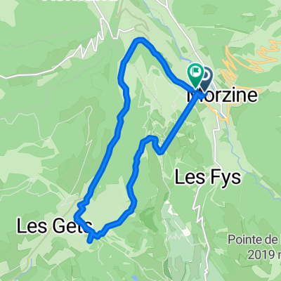
Diese klassische Dreigipfelroute in den Alpen beginnt nach dem Frühstück am Col de la Joue Verte und führt durch die Haarnadelkurven, wo Heidelbeerbüsche eine angenehme Pause für etwas natürliche und handgepflückte Energie bieten, bevor es hinunter nach Morzine geht, über den Baumkronen der vielen Drachenflieger, die den morgendlichen Horizont farben. In Morzine werden Sie dann den berühmten Col de la Joue Plane in Angriff nehmen, der zu spektakulären Ausblicken über die Alpen führt, bevor Sie ins Herz des schönen Dorfes Samoëns hineindriften. Sie können den Tag hier beenden und in unseren Van für die Heimfahrt springen oder, wenn Sie sich gut fühlen, Ihre Windschattentechnik entlang des flachen, pfannkuchenartigen Tals bis Tanninges und dann nach Mieussy üben, von wo aus Sie sich den Reihen der Legenden der Tour de France am Col de la Ramaz anschließen können, weiter zu den Col-Dörfern Encrenaz und der Côte d'Arbroz. Schließlich steigen Sie nach einem gut gefahrenen Tag erneut nach Morzine ab und kühlen sich bei dem letzten sanften Anstieg ins Dorf ab - oder bestellen Sie ein Bier und rufen Sie uns an, um Sie abzuholen!
Erstellt vor 9 Jahren
Routenqualität
Straße
59,2 km
61 %
Forst- / Feldweg
6,8 km
7 %
Befestigt
73,7 km
(76 %)
Unbefestigt
4,9 km
(5 %)
Asphalt
70,8 km
73 %
Beton
2,9 km
3 %
Weiter mit Bikemap
Du möchtest Three Alpine Peaks - Big Day out! fahren oder sie für deine eigene Reise anpassen? Folgendes kannst du mit dieser Bikemap-Route machen:
Kostenlose Testversion für 3 Tage oder einmalige Zahlung. Mehr über Bikemap Premium.
Entdecke weitere Premium-Funktionen.
Bikemap Premium aktivierenVon unserer Community
In der App öffnen