Osceola to Point Douglas via MRT
- 40,4 km
- 248 m
- 318 m
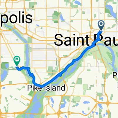
- Saint Paul, Minnesota, Vereinigte Staaten
Eine Fahrradroute, die in Saint Paul, Minnesota, Vereinigte Staaten beginnt.
Übersicht
Nehmen Sie die Summit Avenue nach Westen zur Mississippi River Blvd. Biegen Sie links ab und fahren Sie nach Süden zur Ford Bridge. Überqueren Sie die Ford Bridge und biegen Sie links in die 46th St. zu Godfrey Rd. Biegen Sie rechts ab und fahren Sie weiter durch den Minnehaha Park um den Kreisverkehr zur E. M'haha Pkwy. Nehmen Sie M'haha Pkwy. entweder auf den Wegen oder auf der Straße zur Lyndale Avenue. Biegen Sie links auf Lyndale ab und fahren Sie zur W. 54th Street. Nehmen Sie die W. 54th zur Xerxes und biegen Sie links auf Xerxes ab. Folgen Sie Xerxes nach Süden zur W. 66th Street. Biegen Sie rechts in die 66th Street ab und fahren Sie weiter nach Westen vorbei an Southdale und am Lake Cornelia vorbei. Biegen Sie rechts in die Ridgeview Drive ein. Halten Sie links und biegen Sie an der Valley Lane ab. Folgen Sie der Valley Lane zur Valley View Road. Biegen Sie links in die Valley View Rd. ab. Fahren Sie die Valley View vorbei an der Edina High School und weiter durch die Indian Hills. Die Straße biegt nach rechts ab, bis Sie zur McCauley Trail gelangen. Biegen Sie links an der McCauley ab, wo es wieder zur Valley View Road wird. Biegen Sie rechts ab und fahren Sie weiter auf der Valley View, während sie zur Golden Triangle Drive wird. Biegen Sie links in die W. 76th Street ab und Ihr Ziel ist erreicht.
Routenqualität
Straße
19,8 km
68 %
Ruhige Straße
5,5 km
19 %
Befestigt
16 km
(55 %)
Asphalt
13,1 km
45 %
Beton
1,8 km
6 %
Weiter mit Bikemap
Du möchtest B2B00294 55102>55344viaSummit/Miss/FordBridge/MhahaPkwy/54th/66thSt/ValleyVwRd fahren oder sie für deine eigene Reise anpassen? Folgendes kannst du mit dieser Bikemap-Route machen:
Kostenlose Testversion für 3 Tage oder einmalige Zahlung. Mehr über Bikemap Premium.
Entdecke weitere Premium-Funktionen.
Bikemap Premium aktivierenVon unserer Community
In der App öffnen