0
- 12,1 km
- 161 m
- 131 m
- Santa Barbara, Kalifornien, Vereinigte Staaten
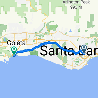
Eine Fahrradroute, die in Santa Barbara, Kalifornien, Vereinigte Staaten beginnt.
Übersicht
Gibraltar Rd is one of the main climbs in the Santa Barbara area for road cyclists (others being San Marcos Rd / Painted Cave Rd climb, Refugio Rd just farther up the coast, and the more mellow Casitas Pass Rd down south). From downtown's almost-sea-level Girbralar route climbs about 3300ft / 1000m over 10mi / 16km to the crest of the mountain, depending on where you start, for an average gradient of 7%. Pavement quality is poor for most of the way. Those for whom seeing the other side of the mountains isn't enough can continue west along Camino Cielo, with more climbing past La Cumbre peak and, perhaps, a twisty downhill ride on Painted Cave / San Marcos.
Erstellt vor 16 Jahren
Routenqualität
Ruhige Straße
30,5 km
93 %
Straße
1 km
3 %
Undefiniert
1,3 km
4 %
Befestigt
24,3 km
(74 %)
Asphalt
24,3 km
74 %
Undefiniert
8,5 km
26 %
Weiter mit Bikemap
Du möchtest Gibraltar Road climb from downtown Santa Barbara fahren oder sie für deine eigene Reise anpassen? Folgendes kannst du mit dieser Bikemap-Route machen:
Kostenlose Testversion für 3 Tage oder einmalige Zahlung. Mehr über Bikemap Premium.
Entdecke weitere Premium-Funktionen.
Bikemap Premium aktivierenVon unserer Community
In der App öffnen