
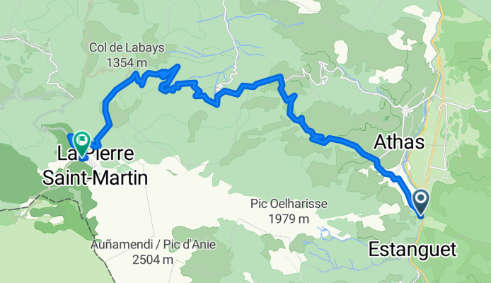
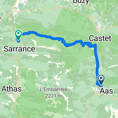
Route template
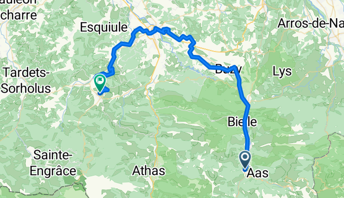
Laruns to Arette
- 4 h 2 min
- Duration
- 64.5 km
- Distance
- 938 m
- Ascent
- 1,131 m
- Descent
- 16 km/h
- Avg. speed
- 535 m
- Max. altitude
Get ready for a classic ride through the beautiful Pyrenean foothills! Starting in Laruns, a charming village known as a gateway to iconic climbs like the Col d’Aubisque, you'll roll northward through quiet mountain roads and pastoral valleys. The route to Arette covers just over 64 km—enough for a solid day out—climbing nearly 940 meters and descending even more, so expect some speedy sections after the hard work is done.
Surface-wise, it's mostly smooth asphalt and paved roads, with the occasional stretch of gravel or rural track to keep things spicy (so a sturdy road or gravel bike is best). The roads are pretty quiet, ideal for soaking up the scenery, from pine forests to open agricultural land.
Arriving in Arette, a small Béarnaise town famous for its local cheese and welcoming atmosphere, you definitely deserve a spot at a café. Enjoy this slice of southwestern France—the climbs, the views, and maybe even a taste of Ossau-Iraty at the end!
Community
Top users in this region


From our community
The best bike routes from Laruns to Arette

9. Etappe: Lauruns - Laugibar
Cycling route in Laruns, Nouvelle-Aquitaine, France
- 107.3 km
- Distance
- 2,303 m
- Ascent
- 2,438 m
- Descent
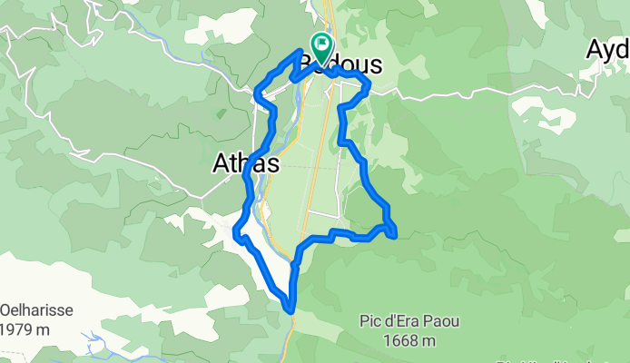
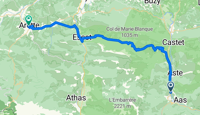
Route nach Bedous
Cycling route in Laruns, Nouvelle-Aquitaine, France
- 14.6 km
- Distance
- 374 m
- Ascent
- 373 m
- Descent
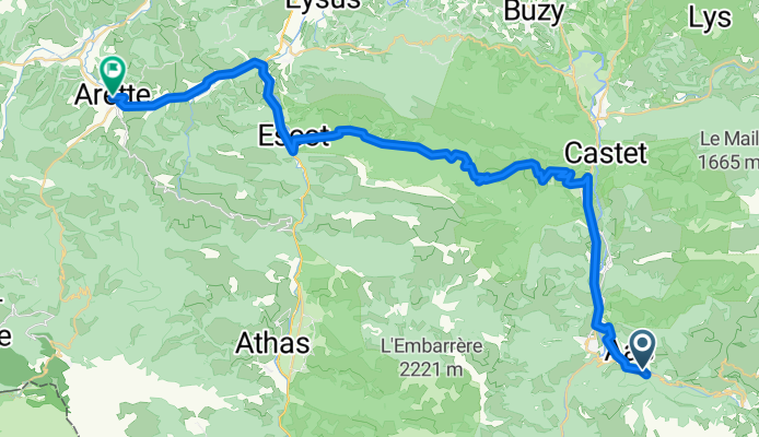
Transpirenaica: Eaux - Arette
Cycling route in Laruns, Nouvelle-Aquitaine, France
- 48.3 km
- Distance
- 1,441 m
- Ascent
- 1,868 m
- Descent
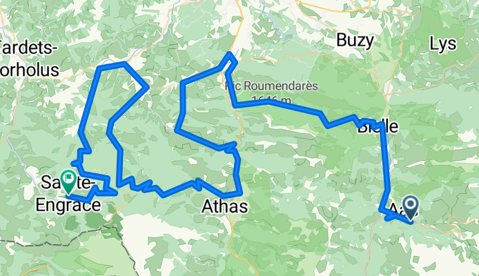
Pirineos 7 Eaux-Bonnes - Ste. Engrace
Cycling route in Laruns, Nouvelle-Aquitaine, France
- 140.7 km
- Distance
- 3,169 m
- Ascent
- 3,274 m
- Descent
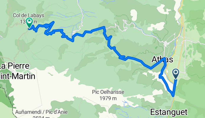
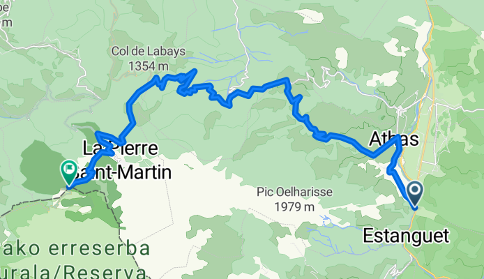
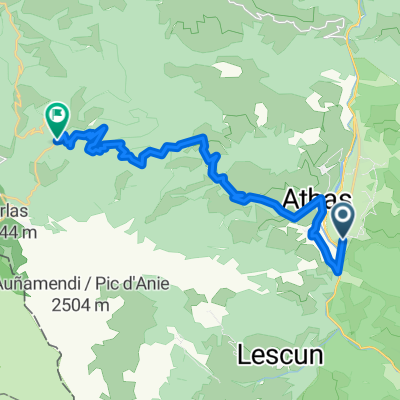
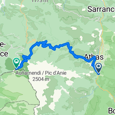
N 134 Col de Labays (por Lees Athas)
Cycling route in Laruns, Nouvelle-Aquitaine, France
- 21.8 km
- Distance
- 1,195 m
- Ascent
- 282 m
- Descent
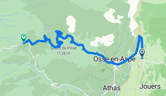
la piedra
Cycling route in Laruns, Nouvelle-Aquitaine, France
- 24.3 km
- Distance
- 1,455 m
- Ascent
- 300 m
- Descent
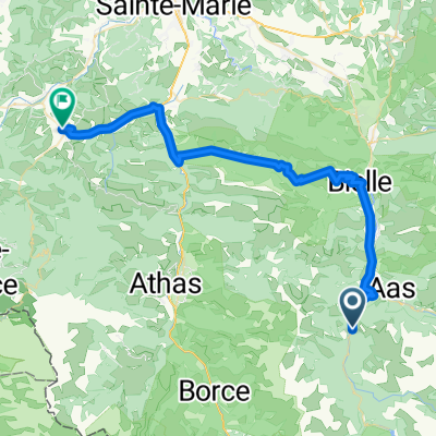
pyrenees tour: Day 4 Beost to Sarrance
Cycling route in Laruns, Nouvelle-Aquitaine, France
- 30.7 km
- Distance
- 658 m
- Ascent
- 843 m
- Descent
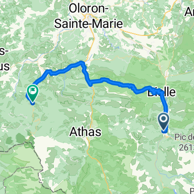
Lees-Athas- Piedra
Cycling route in Laruns, Nouvelle-Aquitaine, France
- 29 km
- Distance
- 1,532 m
- Ascent
- 235 m
- Descent
Camino-Day 11
Cycling route in Laruns, Nouvelle-Aquitaine, France
- 52 km
- Distance
- 968 m
- Ascent
- 963 m
- Descent
Discover more routes
 N 134 Col de Labays (por Lees Athas)
- Distance
- 21.8 km
- Ascent
- 1,195 m
- Descent
- 282 m
- Location
- Laruns, Nouvelle-Aquitaine, France
 5:2 2018
- Distance
- 41.9 km
- Ascent
- 878 m
- Descent
- 1,043 m
- Location
- Laruns, Nouvelle-Aquitaine, France
 la bedous
- Distance
- 11.6 km
- Ascent
- 697 m
- Descent
- 133 m
- Location
- Laruns, Nouvelle-Aquitaine, France
 la piedra
- Distance
- 24.3 km
- Ascent
- 1,455 m
- Descent
- 300 m
- Location
- Laruns, Nouvelle-Aquitaine, France
 pyrenees tour: Day 4 Beost to Sarrance
- Distance
- 30.7 km
- Ascent
- 658 m
- Descent
- 843 m
- Location
- Laruns, Nouvelle-Aquitaine, France
 Lees-Athas- Piedra
- Distance
- 29 km
- Ascent
- 1,532 m
- Descent
- 235 m
- Location
- Laruns, Nouvelle-Aquitaine, France
 Arette
- Distance
- 45.5 km
- Ascent
- 1,008 m
- Descent
- 1,342 m
- Location
- Laruns, Nouvelle-Aquitaine, France
 Camino-Day 11
- Distance
- 52 km
- Ascent
- 968 m
- Descent
- 963 m
- Location
- Laruns, Nouvelle-Aquitaine, France
Routes from Laruns
Cycling day trip from
Laruns to Luz-Saint-Sauveur
Cycling day trip from
Laruns to Campan
Routes to Arette
Cycling day trip from
Argelès-Gazost to Arette