
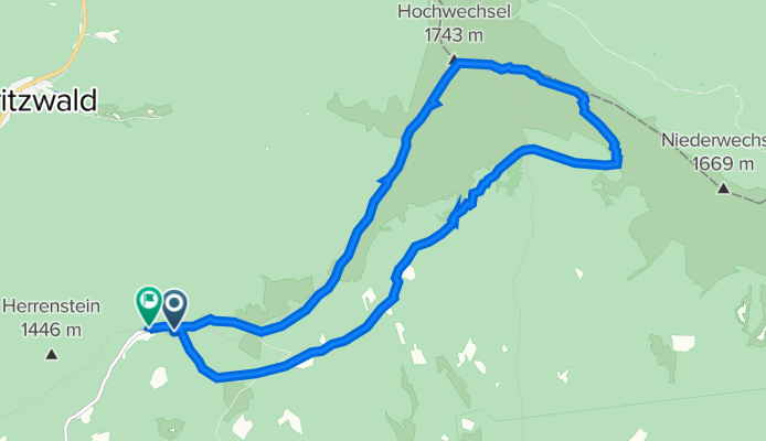
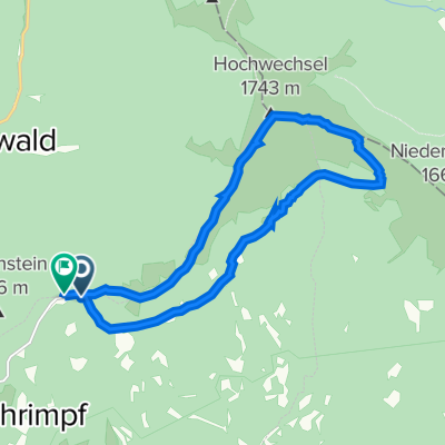
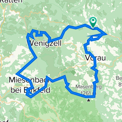
Hochwechselweg, Waldbach-Mönichwald nach Hochwechselweg 46, Rettenegg
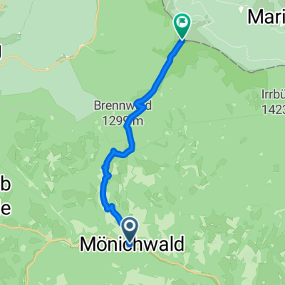
A cycling route starting in Mönichwald, Styria, Austria.
Overview
About this route
- 6 h 5 min
- Duration
- 14.2 km
- Distance
- 635 m
- Ascent
- 696 m
- Descent
- 2.3 km/h
- Avg. speed
- 1,742 m
- Avg. speed

Continue with Bikemap
Use, edit, or download this cycling route
You would like to ride Hochwechselweg, Waldbach-Mönichwald nach Hochwechselweg 46, Rettenegg or customize it for your own trip? Here is what you can do with this Bikemap route:
Free features
- Save this route as favorite or in collections
- Copy & plan your own version of this route
- Sync your route with Garmin or Wahoo
Premium features
Free trial for 3 days, or one-time payment. More about Bikemap Premium.
- Navigate this route on iOS & Android
- Export a GPX / KML file of this route
- Create your custom printout (try it for free)
- Download this route for offline navigation
Discover more Premium features.
Get Bikemap PremiumFrom our community
Other popular routes starting in Mönichwald
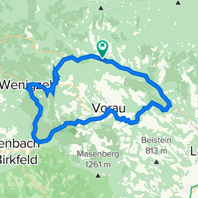 Kreuzwirtrunde
- Distance
- 44.6 km
- Ascent
- 641 m
- Descent
- 640 m
- Location
- Mönichwald, Styria, Austria
 hochw
hochw- Distance
- 13.2 km
- Ascent
- 1,152 m
- Descent
- 0 m
- Location
- Mönichwald, Styria, Austria
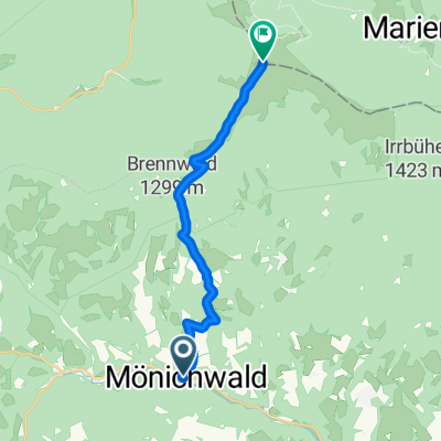
 Wandern Tag2
- Distance
- 15.2 km
- Ascent
- 295 m
- Descent
- 646 m
- Location
- Mönichwald, Styria, Austria
 Hochwechselweg, Waldbach-Mönichwald nach Hochwechselweg 46, Rettenegg
- Distance
- 14.2 km
- Ascent
- 635 m
- Descent
- 696 m
- Location
- Mönichwald, Styria, Austria
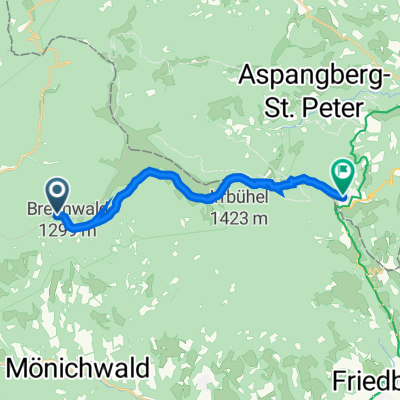
 Hochwechsel
- Distance
- 12.7 km
- Ascent
- 1,135 m
- Descent
- 0 m
- Location
- Mönichwald, Styria, Austria
 Riegersbach 80 nach Riegl 14
- Distance
- 14.8 km
- Ascent
- 355 m
- Descent
- 473 m
- Location
- Mönichwald, Styria, Austria
 Laftnitztal - Radweg
- Distance
- 92.4 km
- Ascent
- 125 m
- Descent
- 554 m
- Location
- Mönichwald, Styria, Austria
 Monichwald 07.2022
- Distance
- 62 km
- Ascent
- 1,754 m
- Descent
- 1,755 m
- Location
- Mönichwald, Styria, Austria
Open it in the app