Premium Badge Download on the App Store Get it on Google Play Turn-by-turn Navigation Offline Maps Bike Type Optimized Routing Premium Maps Custom Bike Computer Export Routes Route Previews Fall Detection Premium Support

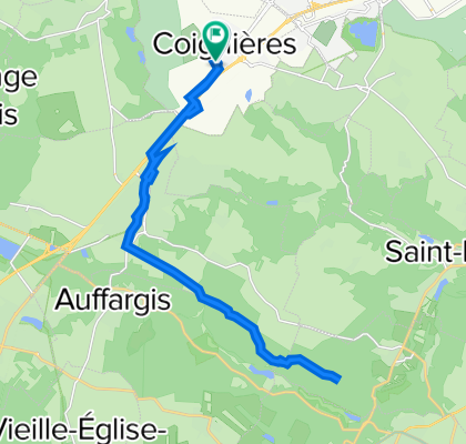
Cycling Route in Coignières, Île-de-France Region, France

De Rue de la Mairie 3, Coignières à Rue des Étangs 10, Coignières

0
Open this route in Bikemap Web

Open this route in Bikemap Web

23 km
Distance
178 m
Ascent
176 m
Descent
1:54 h
Duration
12.1 km/h
Avg. Speed
192 m
Max. Elevation
Customize this cycling route with the Bikemap route planner.

Make it yours!

You can use this route as a template in our cycling route planner so that you don’t have to start from scratch. Customize it based on your needs to plan your perfect cycling tour.