
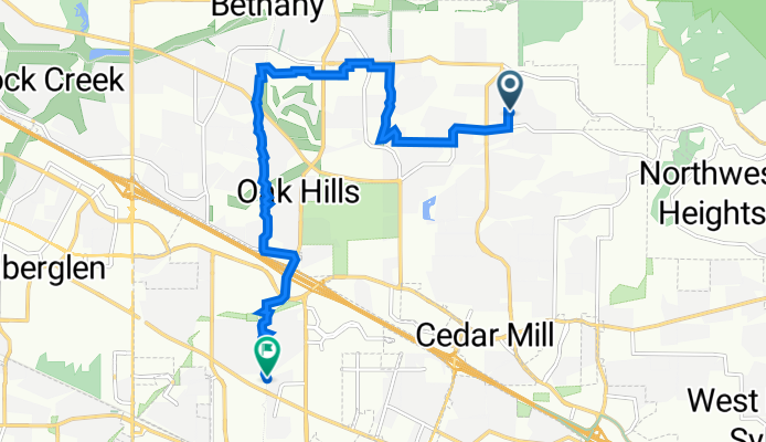
Westside Trail Option C
A cycling route starting in Cedar Mill, Oregon, United States of America.
Overview
About this route
- -:--
- Duration
- 10 km
- Distance
- 94 m
- Ascent
- 163 m
- Descent
- ---
- Avg. speed
- 127 m
- Avg. speed
Route quality
Waytypes & surfaces along the route
Waytypes
Cycleway
3 km
(30 %)
Road
2.1 km
(21 %)
Surfaces
Paved
8.7 km
(87 %)
Asphalt
4.9 km
(49 %)
Paved (undefined)
3.4 km
(34 %)
Continue with Bikemap
Use, edit, or download this cycling route
You would like to ride Westside Trail Option C or customize it for your own trip? Here is what you can do with this Bikemap route:
Free features
- Save this route as favorite or in collections
- Copy & plan your own version of this route
- Sync your route with Garmin or Wahoo
Premium features
Free trial for 3 days, or one-time payment. More about Bikemap Premium.
- Navigate this route on iOS & Android
- Export a GPX / KML file of this route
- Create your custom printout (try it for free)
- Download this route for offline navigation
Discover more Premium features.
Get Bikemap PremiumFrom our community
Other popular routes starting in Cedar Mill
 Cedar Mill, Hillsboro Airport, Rock Creek
- Distance
- 29.4 km
- Ascent
- 177 m
- Descent
- 177 m
- Location
- Cedar Mill, Oregon, United States of America
 12.42
12.42- Distance
- 21.4 km
- Ascent
- 363 m
- Descent
- 365 m
- Location
- Cedar Mill, Oregon, United States of America
 Cedar Mill, Corn Pass, Rock Creek Trail
- Distance
- 20.6 km
- Ascent
- 176 m
- Descent
- 176 m
- Location
- Cedar Mill, Oregon, United States of America
 Bauer Crest, Orenco, Powerlines Loop
- Distance
- 24.4 km
- Ascent
- 132 m
- Descent
- 133 m
- Location
- Cedar Mill, Oregon, United States of America
 The route I did 6/27/23
- Distance
- 20.6 km
- Ascent
- 215 m
- Descent
- 217 m
- Location
- Cedar Mill, Oregon, United States of America
 Cedar Mill / Aloha / Beaverton Loop
- Distance
- 20.9 km
- Ascent
- 147 m
- Descent
- 147 m
- Location
- Cedar Mill, Oregon, United States of America
![[39]Tigard-Schools-Orenco](https://media.bikemap.net/routes/9506679/staticmaps/in_c7878a5b-d272-4c6d-87e3-1b772700fdd6_400x400_bikemap-2021-3D-static.png) [39]Tigard-Schools-Orenco
[39]Tigard-Schools-Orenco- Distance
- 62.1 km
- Ascent
- 224 m
- Descent
- 224 m
- Location
- Cedar Mill, Oregon, United States of America
 13.8 Flat
- Distance
- 22.3 km
- Ascent
- 203 m
- Descent
- 203 m
- Location
- Cedar Mill, Oregon, United States of America
Open it in the app