
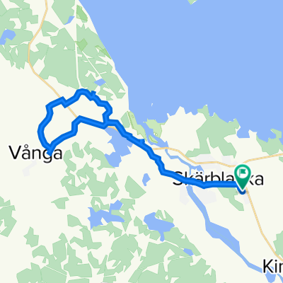
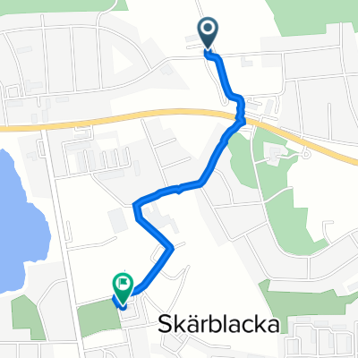
Gettorp 55
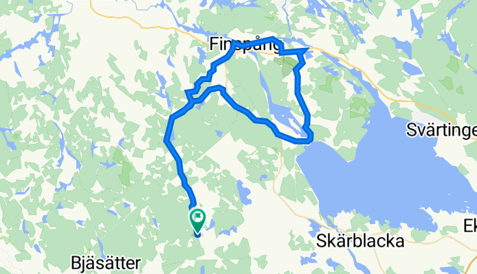
A cycling route starting in Skärblacka, Östergötland County, Sweden.
Overview
About this route
- -:--
- Duration
- 55.6 km
- Distance
- 493 m
- Ascent
- 496 m
- Descent
- ---
- Avg. speed
- 106 m
- Avg. speed

Route quality
Waytypes & surfaces along the route
Waytypes
Road
31.3 km
(56 %)
Quiet road
14.6 km
(26 %)
Surfaces
Paved
33.6 km
(61 %)
Unpaved
8.6 km
(15 %)
Asphalt
33.6 km
(61 %)
Gravel
7.2 km
(13 %)
Continue with Bikemap
Use, edit, or download this cycling route
You would like to ride Gettorp 55 or customize it for your own trip? Here is what you can do with this Bikemap route:
Free features
- Save this route as favorite or in collections
- Copy & plan your own version of this route
- Sync your route with Garmin or Wahoo
Premium features
Free trial for 3 days, or one-time payment. More about Bikemap Premium.
- Navigate this route on iOS & Android
- Export a GPX / KML file of this route
- Create your custom printout (try it for free)
- Download this route for offline navigation
Discover more Premium features.
Get Bikemap PremiumFrom our community
Other popular routes starting in Skärblacka
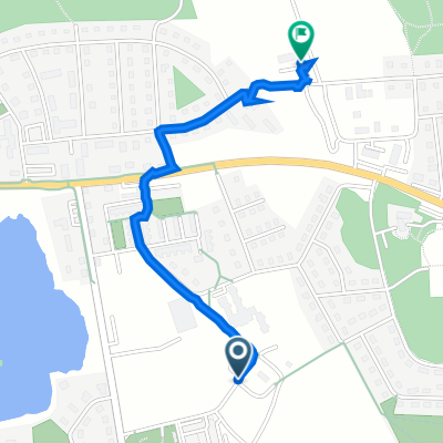
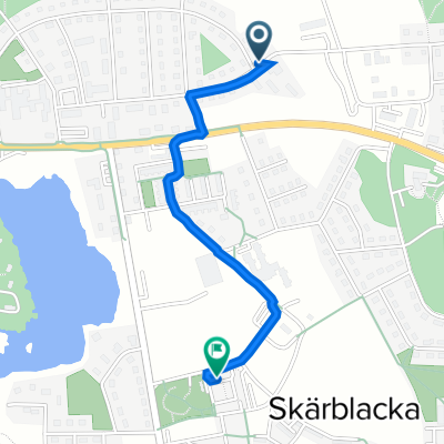 Eskilsvägen 23, Skärblacka to Folkets Husvägen 8B, Skärblacka
- Distance
- 1.1 km
- Ascent
- 10 m
- Descent
- 20 m
- Location
- Skärblacka, Östergötland County, Sweden
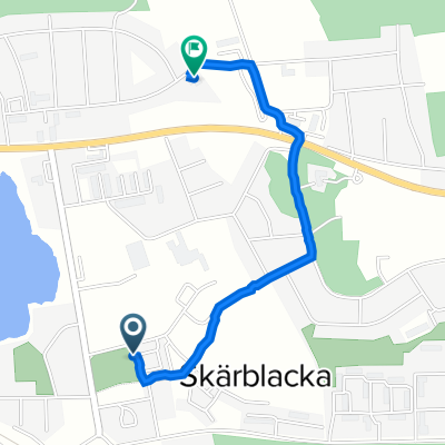
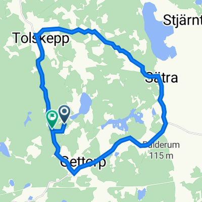 Gettorp 16
- Distance
- 15.8 km
- Ascent
- 146 m
- Descent
- 144 m
- Location
- Skärblacka, Östergötland County, Sweden
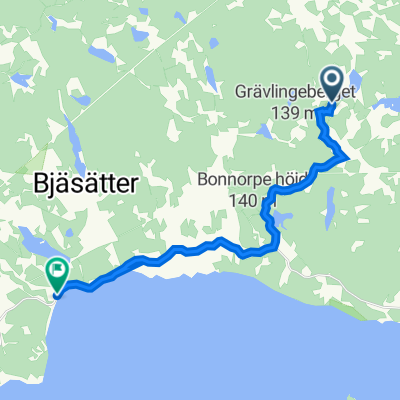 Gettorp 28 Ruine
- Distance
- 14.1 km
- Ascent
- 121 m
- Descent
- 181 m
- Location
- Skärblacka, Östergötland County, Sweden
 Folkets Husvägen, Skärblacka to Eskilsvägen 23, Skärblacka
- Distance
- 1.2 km
- Ascent
- 14 m
- Descent
- 13 m
- Location
- Skärblacka, Östergötland County, Sweden
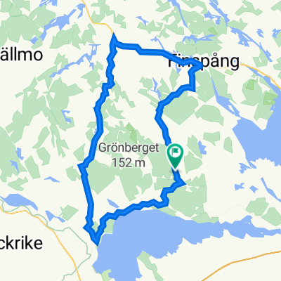
 Buggas Lilla Runda
- Distance
- 21 km
- Ascent
- 113 m
- Descent
- 115 m
- Location
- Skärblacka, Östergötland County, Sweden
 Gettorp 80
- Distance
- 80.5 km
- Ascent
- 805 m
- Descent
- 805 m
- Location
- Skärblacka, Östergötland County, Sweden
 Folkets Husvägen 6F, Skärblacka to Eskilsvägen 30A, Skärblacka
- Distance
- 1.4 km
- Ascent
- 18 m
- Descent
- 13 m
- Location
- Skärblacka, Östergötland County, Sweden
 Eskilsvägen 23, Skärblacka to Folkets Husvägen 8A, Skärblacka
- Distance
- 1.2 km
- Ascent
- 7 m
- Descent
- 15 m
- Location
- Skärblacka, Östergötland County, Sweden
Open it in the app