

Romantisches Franken
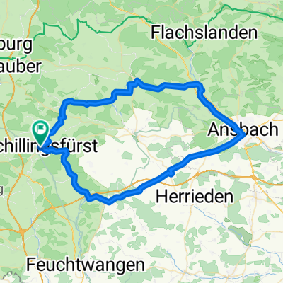
Route Schillingsfürst, Neuweiler Diebach Rothenburg, Insingen, Oberoestheim, Sch
A cycling route starting in Schillingsfürst, Bavaria, Germany.
Overview
About this route
- 2 h 56 min
- Duration
- 46.3 km
- Distance
- 577 m
- Ascent
- 575 m
- Descent
- 15.8 km/h
- Avg. speed
- 521 m
- Max. altitude
Part of
Romantisches Franken
5 stages
Route quality
Waytypes & surfaces along the route
Waytypes
Quiet road
22.2 km
(48 %)
Track
12.5 km
(27 %)
Surfaces
Paved
19.9 km
(43 %)
Unpaved
6.9 km
(15 %)
Asphalt
17.1 km
(37 %)
Gravel
6.5 km
(14 %)
Continue with Bikemap
Use, edit, or download this cycling route
You would like to ride Route Schillingsfürst, Neuweiler Diebach Rothenburg, Insingen, Oberoestheim, Sch or customize it for your own trip? Here is what you can do with this Bikemap route:
Free features
- Save this route as favorite or in collections
- Copy & plan your own version of this route
- Sync your route with Garmin or Wahoo
Premium features
Free trial for 3 days, or one-time payment. More about Bikemap Premium.
- Navigate this route on iOS & Android
- Export a GPX / KML file of this route
- Create your custom printout (try it for free)
- Download this route for offline navigation
Discover more Premium features.
Get Bikemap PremiumFrom our community
Other popular routes starting in Schillingsfürst
 Schillingsfürst, Kloster Sulz, Aurach, Ansbach, Lehrberg, Colmberg, Schillingsfürstrholz, Leutershausen, Schillingsfürst
- Distance
- 65.5 km
- Ascent
- 568 m
- Descent
- 565 m
- Location
- Schillingsfürst, Bavaria, Germany
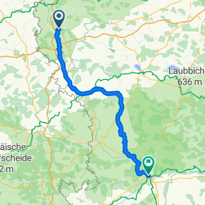
 Sch --> Nürnberg Aug 2009
- Distance
- 79.4 km
- Ascent
- 377 m
- Descent
- 601 m
- Location
- Schillingsfürst, Bavaria, Germany
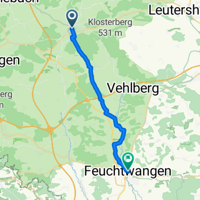 From Schillingsfürst to Feuchtwangen
- Distance
- 16.9 km
- Ascent
- 118 m
- Descent
- 174 m
- Location
- Schillingsfürst, Bavaria, Germany
 Route Schillingsfürst, Neuweiler Diebach Rothenburg, Insingen, Oberoestheim, Sch
- Distance
- 46.3 km
- Ascent
- 577 m
- Descent
- 575 m
- Location
- Schillingsfürst, Bavaria, Germany
 Tagestour 1 St - Großheubach (Schillingsfürst - Hamburg)
- Distance
- 149.1 km
- Ascent
- 1,810 m
- Descent
- 2,176 m
- Location
- Schillingsfürst, Bavaria, Germany
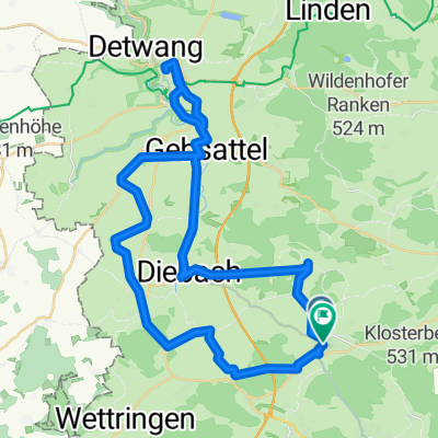
 Radschmetterling_rot
- Distance
- 54 km
- Ascent
- 482 m
- Descent
- 485 m
- Location
- Schillingsfürst, Bavaria, Germany
 Der Wörnitzradweg
- Distance
- 106.3 km
- Ascent
- 364 m
- Descent
- 458 m
- Location
- Schillingsfürst, Bavaria, Germany
 Mittlere Trainingsstrecke
- Distance
- 33.3 km
- Ascent
- 318 m
- Descent
- 312 m
- Location
- Schillingsfürst, Bavaria, Germany
Open it in the app