
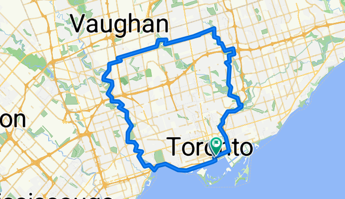
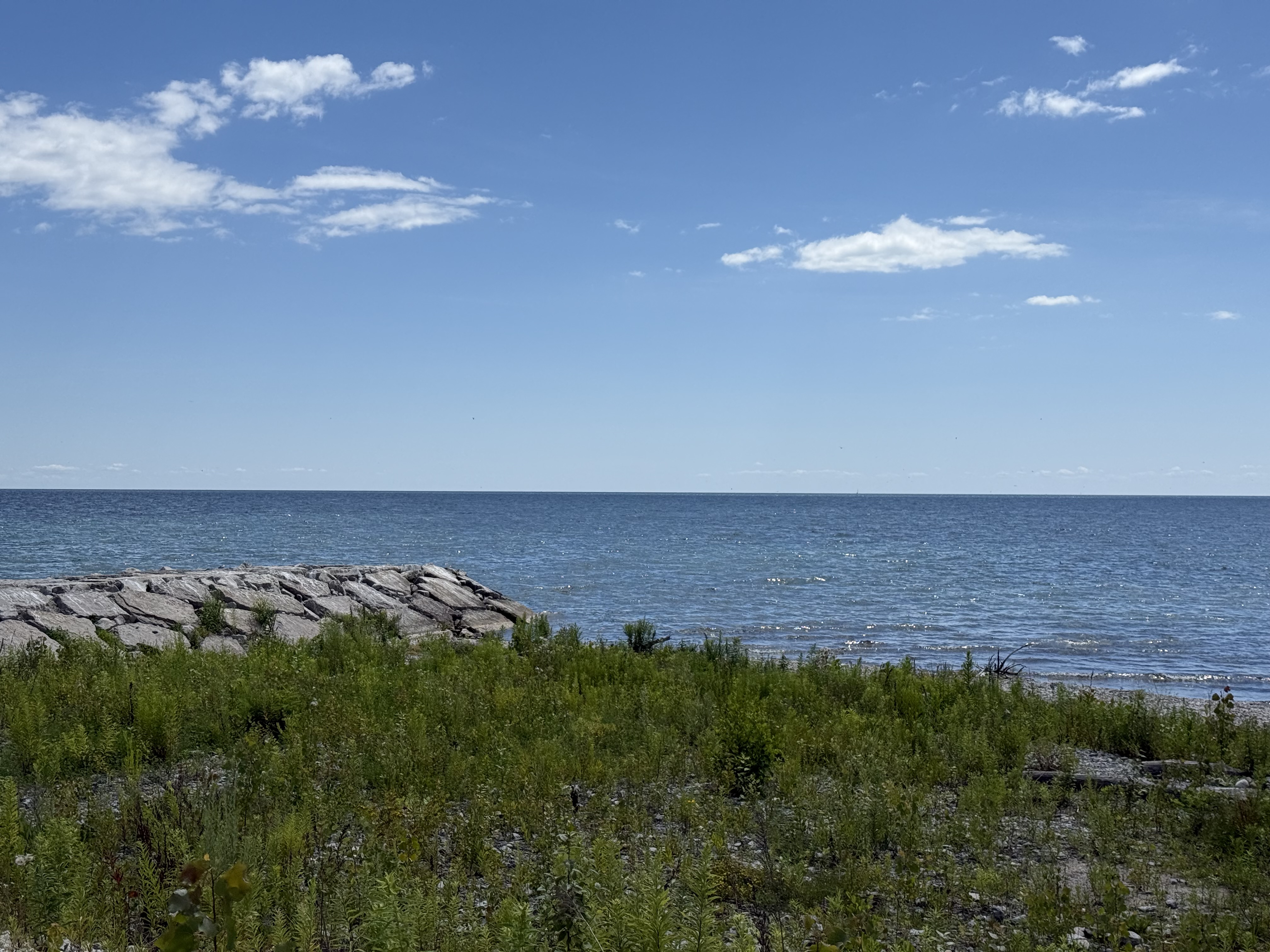
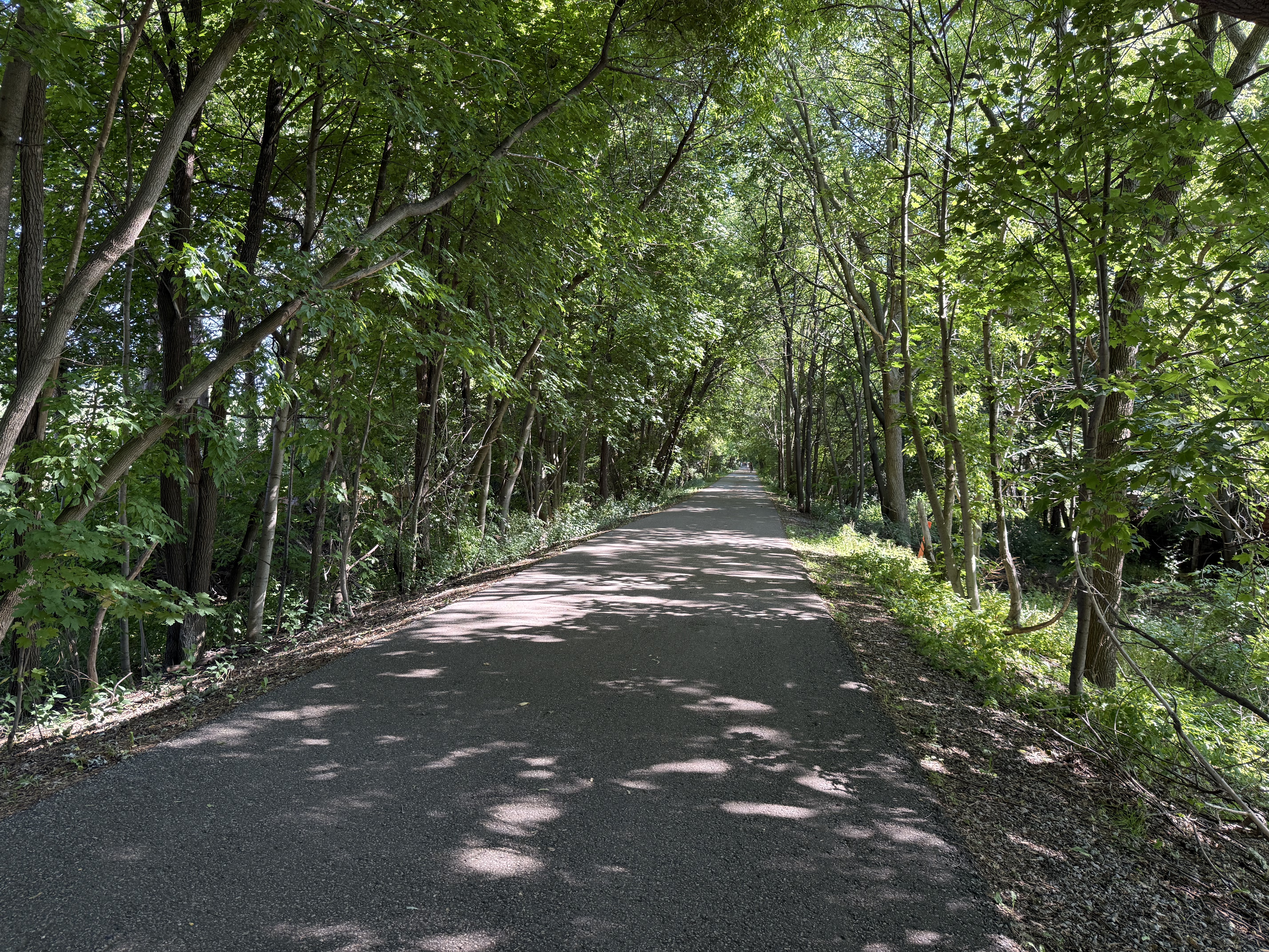
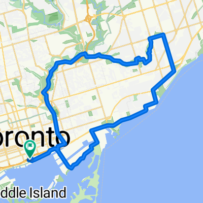
City Loop Humber Bay Arch Bridge – Don valley
A cycling route starting in Toronto, Ontario, Canada.
Overview
About this route
- 4 h 55 min
- Duration
- 77.3 km
- Distance
- 664 m
- Ascent
- 665 m
- Descent
- 15.7 km/h
- Avg. speed
- 206 m
- Max. altitude
Route quality
Waytypes & surfaces along the route
Waytypes
Cycleway
10 km
(13 %)
Quiet road
3.1 km
(4 %)
Surfaces
Paved
15.5 km
(20 %)
Asphalt
13.9 km
(18 %)
Paved (undefined)
1.5 km
(2 %)
Undefined
61.8 km
(80 %)
Continue with Bikemap
Use, edit, or download this cycling route
You would like to ride City Loop Humber Bay Arch Bridge – Don valley or customize it for your own trip? Here is what you can do with this Bikemap route:
Free features
- Save this route as favorite or in collections
- Copy & plan your own version of this route
- Sync your route with Garmin or Wahoo
Premium features
Free trial for 3 days, or one-time payment. More about Bikemap Premium.
- Navigate this route on iOS & Android
- Export a GPX / KML file of this route
- Create your custom printout (try it for free)
- Download this route for offline navigation
Discover more Premium features.
Get Bikemap PremiumFrom our community
Other popular routes starting in Toronto
 Dundas Station to Midland Avenue
- Distance
- 28.4 km
- Ascent
- 249 m
- Descent
- 141 m
- Location
- Toronto, Ontario, Canada
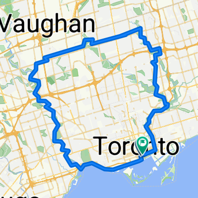
 Long Toronto Loop
- Distance
- 76.9 km
- Ascent
- 374 m
- Descent
- 370 m
- Location
- Toronto, Ontario, Canada
 Lengthy bike tour through Toronto
- Distance
- 36.1 km
- Ascent
- 124 m
- Descent
- 123 m
- Location
- Toronto, Ontario, Canada
 City Loop Humber Bay Arch Bridge – Don valley
- Distance
- 77.3 km
- Ascent
- 664 m
- Descent
- 665 m
- Location
- Toronto, Ontario, Canada
 commute to class
- Distance
- 29.6 km
- Ascent
- 252 m
- Descent
- 253 m
- Location
- Toronto, Ontario, Canada
 TCBC to Highland Creek (Morrish & Ellesmere) and beyond
- Distance
- 67.2 km
- Ascent
- 413 m
- Descent
- 399 m
- Location
- Toronto, Ontario, Canada
 Ride For Cancer day 1
- Distance
- 102.9 km
- Ascent
- 317 m
- Descent
- 297 m
- Location
- Toronto, Ontario, Canada
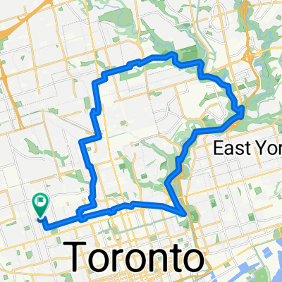
 Pan Am Path (East) Lower Don
- Distance
- 8.8 km
- Ascent
- 48 m
- Descent
- 64 m
- Location
- Toronto, Ontario, Canada
Open it in the app