
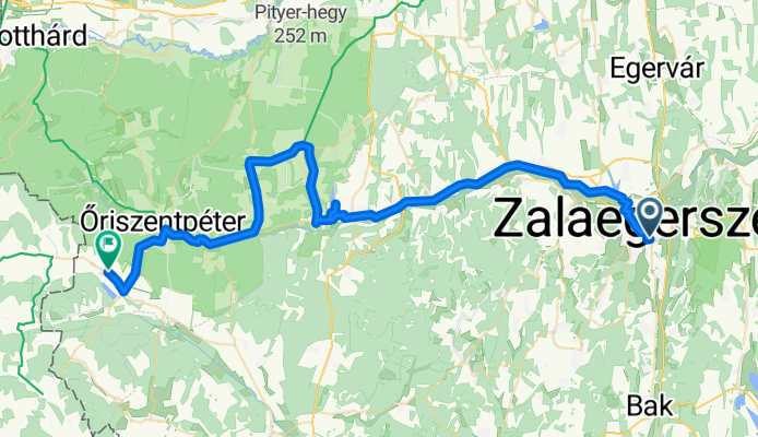
Zalaegerszeg - Bajánsenye
A cycling route starting in Zalaegerszeg, Zala County, Hungary.
Overview
About this route
- 3 h 23 min
- Duration
- 59.6 km
- Distance
- 298 m
- Ascent
- 230 m
- Descent
- 17.6 km/h
- Avg. speed
- 275 m
- Max. altitude

Route quality
Waytypes & surfaces along the route
Waytypes
Cycleway
19.7 km
(33 %)
Quiet road
11.9 km
(20 %)
Surfaces
Paved
51.8 km
(87 %)
Unpaved
0.6 km
(1 %)
Asphalt
51.8 km
(87 %)
Ground
0.6 km
(1 %)
Undefined
7.2 km
(12 %)
Continue with Bikemap
Use, edit, or download this cycling route
You would like to ride Zalaegerszeg - Bajánsenye or customize it for your own trip? Here is what you can do with this Bikemap route:
Free features
- Save this route as favorite or in collections
- Copy & plan your own version of this route
- Sync your route with Garmin or Wahoo
Premium features
Free trial for 3 days, or one-time payment. More about Bikemap Premium.
- Navigate this route on iOS & Android
- Export a GPX / KML file of this route
- Create your custom printout (try it for free)
- Download this route for offline navigation
Discover more Premium features.
Get Bikemap PremiumFrom our community
Other popular routes starting in Zalaegerszeg
 Zalaegerszeg (Ságod), termálfürdő - Zalaegerszeg (Ságod), termálfürdő
- Distance
- 15.7 km
- Ascent
- 115 m
- Descent
- 112 m
- Location
- Zalaegerszeg, Zala County, Hungary
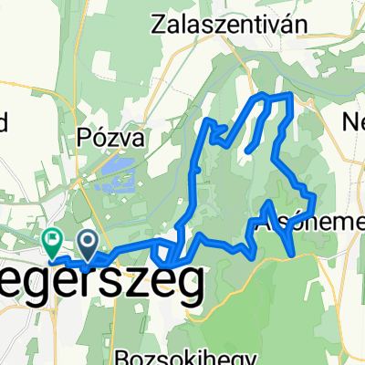
 Zala töltés - Karácsony hegy - Botfa - Göcseji út
- Distance
- 24.5 km
- Ascent
- 212 m
- Descent
- 212 m
- Location
- Zalaegerszeg, Zala County, Hungary
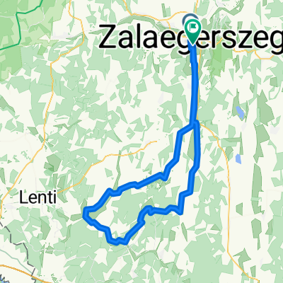
 Őrségi kör
- Distance
- 85.5 km
- Ascent
- 312 m
- Descent
- 312 m
- Location
- Zalaegerszeg, Zala County, Hungary
 Berzsenyi Dániel utca, Zalaegerszeg - Deák Ferenc tér, Zalaegerszeg
- Distance
- 26.1 km
- Ascent
- 599 m
- Descent
- 593 m
- Location
- Zalaegerszeg, Zala County, Hungary
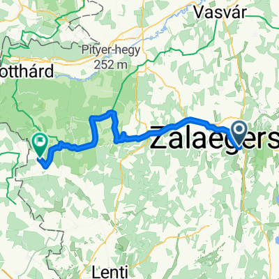 Zalaegerszeg - Bajánsenye
- Distance
- 59.6 km
- Ascent
- 298 m
- Descent
- 230 m
- Location
- Zalaegerszeg, Zala County, Hungary
 Zeg- szegek- Becsvölgye- Zeg
- Distance
- 49.5 km
- Ascent
- 475 m
- Descent
- 476 m
- Location
- Zalaegerszeg, Zala County, Hungary
 Route in Zalaegerszeg
- Distance
- 90.5 km
- Ascent
- 550 m
- Descent
- 543 m
- Location
- Zalaegerszeg, Zala County, Hungary
 Boncodfölde - Rákóczi utca
- Distance
- 19.4 km
- Ascent
- 143 m
- Descent
- 163 m
- Location
- Zalaegerszeg, Zala County, Hungary
Open it in the app