
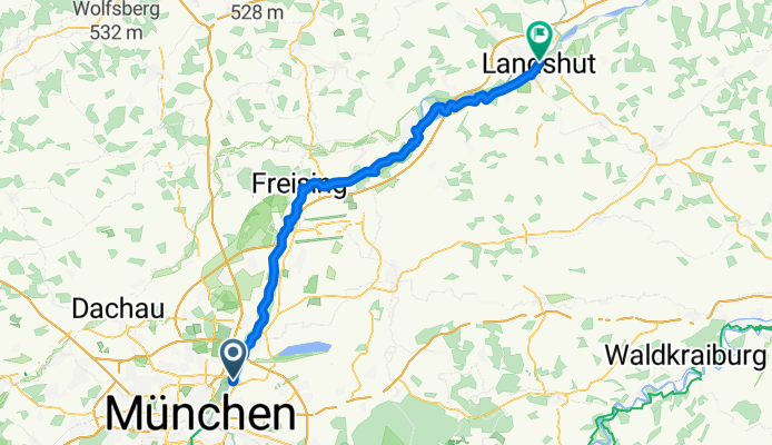
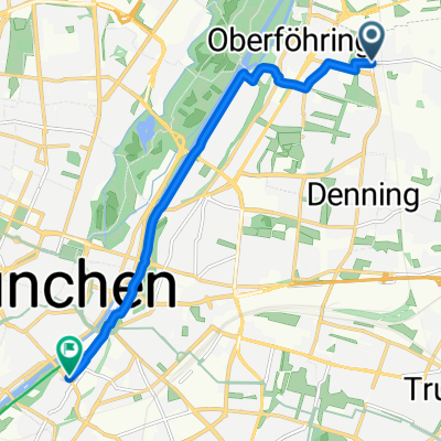
Münchner Straße, Unterföhring nach Isargestade, Landshut
A cycling route starting in Unterföhring, Bavaria, Germany.
Overview
About this route
- 3 h 25 min
- Duration
- 75.9 km
- Distance
- 156 m
- Ascent
- 276 m
- Descent
- 22.2 km/h
- Avg. speed
- 516 m
- Max. altitude

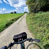
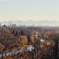
Route photos


Route quality
Waytypes & surfaces along the route
Waytypes
Track
35.7 km
(47 %)
Quiet road
15.2 km
(20 %)
Surfaces
Paved
22 km
(29 %)
Unpaved
51.6 km
(68 %)
Gravel
46.3 km
(61 %)
Asphalt
21.2 km
(28 %)
Continue with Bikemap
Use, edit, or download this cycling route
You would like to ride Münchner Straße, Unterföhring nach Isargestade, Landshut or customize it for your own trip? Here is what you can do with this Bikemap route:
Free features
- Save this route as favorite or in collections
- Copy & plan your own version of this route
- Sync your route with Garmin or Wahoo
Premium features
Free trial for 3 days, or one-time payment. More about Bikemap Premium.
- Navigate this route on iOS & Android
- Export a GPX / KML file of this route
- Create your custom printout (try it for free)
- Download this route for offline navigation
Discover more Premium features.
Get Bikemap PremiumFrom our community
Other popular routes starting in Unterföhring
 Isarradweg
- Distance
- 19.6 km
- Ascent
- 63 m
- Descent
- 113 m
- Location
- Unterföhring, Bavaria, Germany
 Zum Apple Liquid Glass Workshop Tag 2
- Distance
- 7.9 km
- Ascent
- 30 m
- Descent
- 31 m
- Location
- Unterföhring, Bavaria, Germany
 OK12 - P12
- Distance
- 8.4 km
- Ascent
- 31 m
- Descent
- 12 m
- Location
- Unterföhring, Bavaria, Germany
 Tag 1: Von München nach Schongau
- Distance
- 98.5 km
- Ascent
- 744 m
- Descent
- 599 m
- Location
- Unterföhring, Bavaria, Germany
 Runde am Wasser
- Distance
- 33.3 km
- Ascent
- 49 m
- Descent
- 50 m
- Location
- Unterföhring, Bavaria, Germany
 München (City-Parktour 3)
- Distance
- 34.9 km
- Ascent
- 54 m
- Descent
- 54 m
- Location
- Unterföhring, Bavaria, Germany
 Abendausflug zum Hypoberg
- Distance
- 6.7 km
- Ascent
- 58 m
- Descent
- 92 m
- Location
- Unterföhring, Bavaria, Germany
 Von Johanneskirchen zum Café Faber
- Distance
- 8.2 km
- Ascent
- 37 m
- Descent
- 35 m
- Location
- Unterföhring, Bavaria, Germany
Open it in the app