

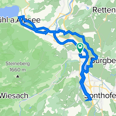
Nagelfluhrunde 100km
A cycling route starting in Blaichach, Bavaria, Germany.
Overview
About this route
null - null
- -:--
- Duration
- 104.7 km
- Distance
- 2,386 m
- Ascent
- 2,386 m
- Descent
- ---
- Avg. speed
- 1,146 m
- Max. altitude
Continue with Bikemap
Use, edit, or download this cycling route
You would like to ride Nagelfluhrunde 100km or customize it for your own trip? Here is what you can do with this Bikemap route:
Free features
- Save this route as favorite or in collections
- Copy & plan your own version of this route
- Split it into stages to create a multi-day tour
- Sync your route with Garmin or Wahoo
Premium features
Free trial for 3 days, or one-time payment. More about Bikemap Premium.
- Navigate this route on iOS & Android
- Export a GPX / KML file of this route
- Create your custom printout (try it for free)
- Download this route for offline navigation
Discover more Premium features.
Get Bikemap PremiumFrom our community
Other popular routes starting in Blaichach
 alpsee
- Distance
- 28.1 km
- Ascent
- 97 m
- Descent
- 98 m
- Location
- Blaichach, Bavaria, Germany
 Radrunde mit manu
- Distance
- 10.8 km
- Ascent
- 316 m
- Descent
- 314 m
- Location
- Blaichach, Bavaria, Germany
 Heimatblick
- Distance
- 47.7 km
- Ascent
- 1,132 m
- Descent
- 1,130 m
- Location
- Blaichach, Bavaria, Germany
 18.07. Missen über O'staufen heim
- Distance
- 63 km
- Ascent
- 479 m
- Descent
- 482 m
- Location
- Blaichach, Bavaria, Germany
 Illertal Runde
- Distance
- 35.6 km
- Ascent
- 390 m
- Descent
- 391 m
- Location
- Blaichach, Bavaria, Germany
 Von Sonthofen zur Kaeseralpe
- Distance
- 51.7 km
- Ascent
- 667 m
- Descent
- 667 m
- Location
- Blaichach, Bavaria, Germany
 Nagelfluhrunde 100km
- Distance
- 104.7 km
- Ascent
- 2,386 m
- Descent
- 2,386 m
- Location
- Blaichach, Bavaria, Germany
 Rund um die Hörner
- Distance
- 68.2 km
- Ascent
- 1,510 m
- Descent
- 1,397 m
- Location
- Blaichach, Bavaria, Germany
Open it in the app