
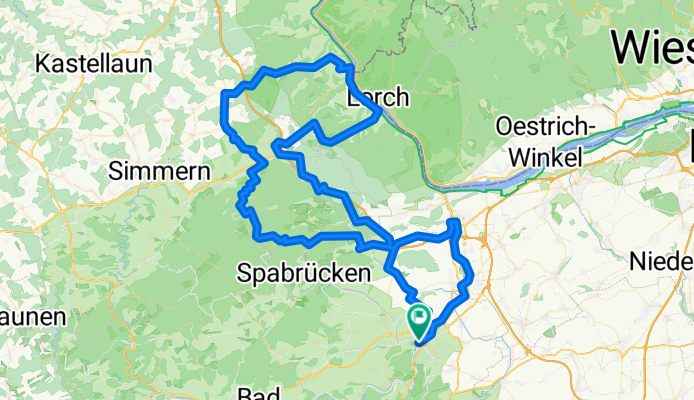
RTF am Fuße des Hunsrücks (RC Michelin)
A cycling route starting in Bad Kreuznach, Rhineland-Palatinate, Germany.
Overview
About this route
Zusätzlich zur RTF Hin- und Rückfahrt von KH aus: + 2x15 km :-)
RTF Windesheim - Startpunkt: Sporthalle Windesheim (Bahnhofstraße)
Windesheim - Guldental - Langenlonsheim - Laubenheim - Münster-Sarmsheim - Burg Layen - Waldlaubersheim - Genheim - Waldalgesheim - Wald-Erbach - Warmsroth - Daxweiler - Seibersbach - Dörrebach - Waldwinkel - Schanzer Kopf - Argenthal - Altweidelbach - Wahlbach - Mörschbach - Liebshausen - Kisselbach - Wiebelsheim - Perscheid - Langscheid - Henschhausen - Bacharach - Steeg - Rheinböllen
- Rheinböller Hütte - Stromberg - Schweppenhausen - Windesheim
- 8 h 16 min
- Duration
- 125.9 km
- Distance
- 2,323 m
- Ascent
- 2,320 m
- Descent
- 15.2 km/h
- Avg. speed
- 618 m
- Max. altitude
Route quality
Waytypes & surfaces along the route
Waytypes
Track
61.7 km
(49 %)
Road
21.4 km
(17 %)
Surfaces
Paved
78 km
(62 %)
Unpaved
22.7 km
(18 %)
Asphalt
57.9 km
(46 %)
Paved (undefined)
20.1 km
(16 %)
Continue with Bikemap
Use, edit, or download this cycling route
You would like to ride RTF am Fuße des Hunsrücks (RC Michelin) or customize it for your own trip? Here is what you can do with this Bikemap route:
Free features
- Save this route as favorite or in collections
- Copy & plan your own version of this route
- Split it into stages to create a multi-day tour
- Sync your route with Garmin or Wahoo
Premium features
Free trial for 3 days, or one-time payment. More about Bikemap Premium.
- Navigate this route on iOS & Android
- Export a GPX / KML file of this route
- Create your custom printout (try it for free)
- Download this route for offline navigation
Discover more Premium features.
Get Bikemap PremiumFrom our community
Other popular routes starting in Bad Kreuznach
 Hugo-Salzmann-Straße, Bad Kreuznach nach Hugo-Salzmann-Straße, Bad Kreuznach
- Distance
- 27.3 km
- Ascent
- 260 m
- Descent
- 261 m
- Location
- Bad Kreuznach, Rhineland-Palatinate, Germany
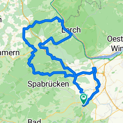 RTF am Fuße des Hunsrücks (RC Michelin)
- Distance
- 125.9 km
- Ascent
- 2,323 m
- Descent
- 2,320 m
- Location
- Bad Kreuznach, Rhineland-Palatinate, Germany
 Steubenstraße 18, Bad Kreuznach nach Carl-Schurz-Straße 25, Bad Kreuznach
- Distance
- 15.1 km
- Ascent
- 254 m
- Descent
- 253 m
- Location
- Bad Kreuznach, Rhineland-Palatinate, Germany
 Route in Bad Kreuznach
- Distance
- 18.4 km
- Ascent
- 869 m
- Descent
- 868 m
- Location
- Bad Kreuznach, Rhineland-Palatinate, Germany
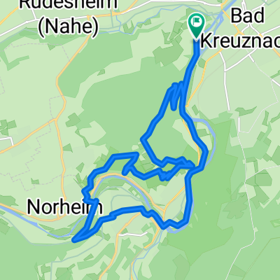
 Panoramatour Bad Kreuznach
- Distance
- 28.4 km
- Ascent
- 731 m
- Descent
- 730 m
- Location
- Bad Kreuznach, Rhineland-Palatinate, Germany
 April Sonnen Trailfeuerwerk CLONED FROM ROUTE 444917
- Distance
- 31.2 km
- Ascent
- 667 m
- Descent
- 670 m
- Location
- Bad Kreuznach, Rhineland-Palatinate, Germany
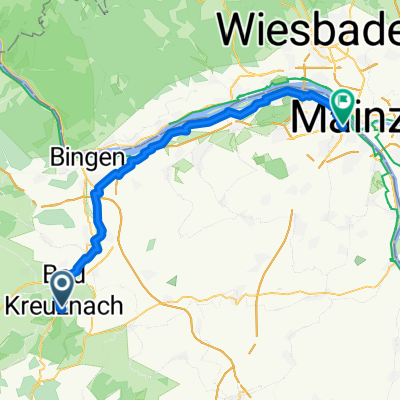 Bad Sobernheim -Bad Kreuznach
- Distance
- 51.6 km
- Ascent
- 147 m
- Descent
- 242 m
- Location
- Bad Kreuznach, Rhineland-Palatinate, Germany
 Flacher Rundkurs Kreuznach-Bingen-Ingelheim-Kreuznach
- Distance
- 57.2 km
- Ascent
- 127 m
- Descent
- 127 m
- Location
- Bad Kreuznach, Rhineland-Palatinate, Germany
Open it in the app