
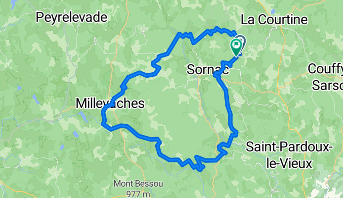
250722_Sornac_49
A cycling route starting in La Courtine, Nouvelle-Aquitaine, France.
Overview
About this route
- 3 h 3 min
- Duration
- 49.1 km
- Distance
- 1,017 m
- Ascent
- 1,015 m
- Descent
- 16.1 km/h
- Avg. speed
- 942 m
- Max. altitude

Route quality
Waytypes & surfaces along the route
Waytypes
Road
24.1 km
(49 %)
Quiet road
18.2 km
(37 %)
Surfaces
Paved
6.4 km
(13 %)
Unpaved
2 km
(4 %)
Asphalt
6.4 km
(13 %)
Gravel
1 km
(2 %)
Continue with Bikemap
Use, edit, or download this cycling route
You would like to ride 250722_Sornac_49 or customize it for your own trip? Here is what you can do with this Bikemap route:
Free features
- Save this route as favorite or in collections
- Copy & plan your own version of this route
- Sync your route with Garmin or Wahoo
Premium features
Free trial for 3 days, or one-time payment. More about Bikemap Premium.
- Navigate this route on iOS & Android
- Export a GPX / KML file of this route
- Create your custom printout (try it for free)
- Download this route for offline navigation
Discover more Premium features.
Get Bikemap PremiumFrom our community
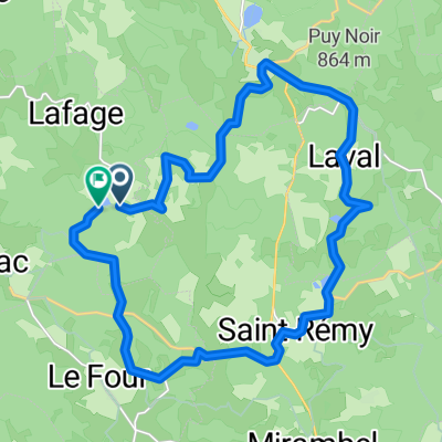
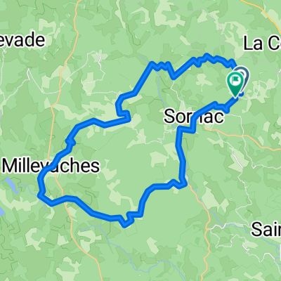
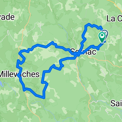
Other popular routes starting in La Courtine
 250720_Sornac_22
- Distance
- 22.4 km
- Ascent
- 411 m
- Descent
- 409 m
- Location
- La Courtine, Nouvelle-Aquitaine, France
 CSA 35 RI LA COURTINE 47 KM
- Distance
- 46.2 km
- Ascent
- 424 m
- Descent
- 438 m
- Location
- La Courtine, Nouvelle-Aquitaine, France
 CSA 35 RI LA COURTINE 64 KM
- Distance
- 63.3 km
- Ascent
- 575 m
- Descent
- 572 m
- Location
- La Courtine, Nouvelle-Aquitaine, France
 CSA LA COURTINE 41 KM
- Distance
- 40.4 km
- Ascent
- 704 m
- Descent
- 710 m
- Location
- La Courtine, Nouvelle-Aquitaine, France
 250723_Sornac_40
- Distance
- 41.1 km
- Ascent
- 812 m
- Descent
- 811 m
- Location
- La Courtine, Nouvelle-Aquitaine, France
 250725_Sornac_40
- Distance
- 42.5 km
- Ascent
- 883 m
- Descent
- 881 m
- Location
- La Courtine, Nouvelle-Aquitaine, France
 holgiontour TLS-BX3
- Distance
- 193.2 km
- Ascent
- 614 m
- Descent
- 1,177 m
- Location
- La Courtine, Nouvelle-Aquitaine, France
 CSA 35 RI LA COURTINE 52 KM
- Distance
- 51.7 km
- Ascent
- 645 m
- Descent
- 641 m
- Location
- La Courtine, Nouvelle-Aquitaine, France
Open it in the app