
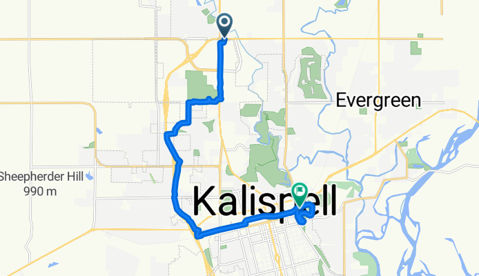
Route in Kalispell
A cycling route starting in Evergreen, Montana, United States.
Overview
About this route
- 1 h
- Duration
- 13.5 km
- Distance
- 46 m
- Ascent
- 76 m
- Descent
- 13.6 km/h
- Avg. speed
- 937 m
- Max. altitude
Route quality
Waytypes & surfaces along the route
Waytypes
Pedestrian area
6.2 km
(46 %)
Cycleway
5.9 km
(44 %)
Surfaces
Paved
0.4 km
(3 %)
Paved (undefined)
0.4 km
(3 %)
Undefined
13.1 km
(97 %)
Continue with Bikemap
Use, edit, or download this cycling route
You would like to ride Route in Kalispell or customize it for your own trip? Here is what you can do with this Bikemap route:
Free features
- Save this route as favorite or in collections
- Copy & plan your own version of this route
- Sync your route with Garmin or Wahoo
Premium features
Free trial for 3 days, or one-time payment. More about Bikemap Premium.
- Navigate this route on iOS & Android
- Export a GPX / KML file of this route
- Create your custom printout (try it for free)
- Download this route for offline navigation
Discover more Premium features.
Get Bikemap PremiumFrom our community
Other popular routes starting in Evergreen
 228 Sunset Trail, Kalispell to 228 Sunset Trail, Kalispell
- Distance
- 4.7 km
- Ascent
- 23 m
- Descent
- 19 m
- Location
- Evergreen, Montana, United States
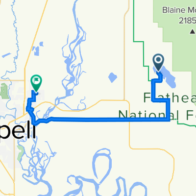
 1066 Harmony Ct, Kalispell to 789 Blaine View Ln, Kalispell
- Distance
- 23.8 km
- Ascent
- 9,893 m
- Descent
- 9,866 m
- Location
- Evergreen, Montana, United States
 209–231 Montford Rd, Kalispell to 456 Kokanee Bend Dr, Columbia Falls
- Distance
- 17.1 km
- Ascent
- 98 m
- Descent
- 83 m
- Location
- Evergreen, Montana, United States
 774 Blaine View Ln, Kalispell to 1066 Harmony Ct, Kalispell
- Distance
- 21.2 km
- Ascent
- 974 m
- Descent
- 1,001 m
- Location
- Evergreen, Montana, United States
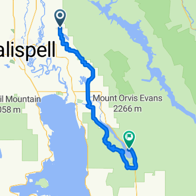 QUEST GDMBR Day 04
- Distance
- 75.8 km
- Ascent
- 711 m
- Descent
- 694 m
- Location
- Evergreen, Montana, United States
 995 Egan Rd, Kalispell to Kalispell
- Distance
- 14.7 km
- Ascent
- 246 m
- Descent
- 226 m
- Location
- Evergreen, Montana, United States
 228 Sunset Trail, Kalispell to 228 Sunset Trail, Kalispell
- Distance
- 9.3 km
- Ascent
- 111 m
- Descent
- 97 m
- Location
- Evergreen, Montana, United States
 3369–3391 Whitefish Stage Rd, Kalispell to 669 Spokane Ave, Whitefish
- Distance
- 12.6 km
- Ascent
- 50 m
- Descent
- 54 m
- Location
- Evergreen, Montana, United States
Open it in the app