
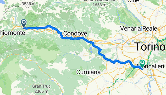
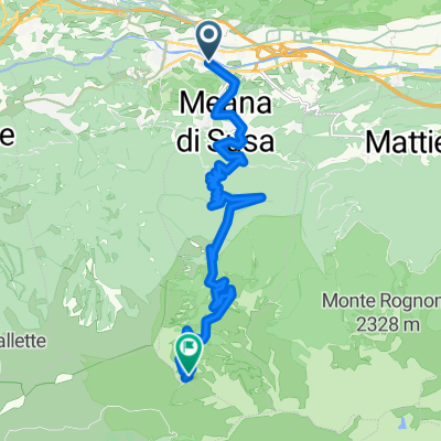
susa_niche
A cycling route starting in Susa, Piedmont, Italy.
Overview
About this route
- 3 h 23 min
- Duration
- 65.8 km
- Distance
- 425 m
- Ascent
- 689 m
- Descent
- 19.5 km/h
- Avg. speed
- 510 m
- Max. altitude

Route quality
Waytypes & surfaces along the route
Waytypes
Quiet road
24.4 km
(37 %)
Cycleway
22.4 km
(34 %)
Surfaces
Paved
59.3 km
(90 %)
Asphalt
58.6 km
(89 %)
Concrete
0.7 km
(1 %)
Undefined
6.6 km
(10 %)
Continue with Bikemap
Use, edit, or download this cycling route
You would like to ride susa_niche or customize it for your own trip? Here is what you can do with this Bikemap route:
Free features
- Save this route as favorite or in collections
- Copy & plan your own version of this route
- Sync your route with Garmin or Wahoo
Premium features
Free trial for 3 days, or one-time payment. More about Bikemap Premium.
- Navigate this route on iOS & Android
- Export a GPX / KML file of this route
- Create your custom printout (try it for free)
- Download this route for offline navigation
Discover more Premium features.
Get Bikemap PremiumFrom our community
Other popular routes starting in Susa
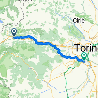 susa_niche
- Distance
- 65.8 km
- Ascent
- 425 m
- Descent
- 689 m
- Location
- Susa, Piedmont, Italy
 Francia_2018_1
- Distance
- 112.3 km
- Ascent
- 2,934 m
- Descent
- 2,123 m
- Location
- Susa, Piedmont, Italy
 Francia_2018_1
- Distance
- 67.4 km
- Ascent
- 1,403 m
- Descent
- 594 m
- Location
- Susa, Piedmont, Italy
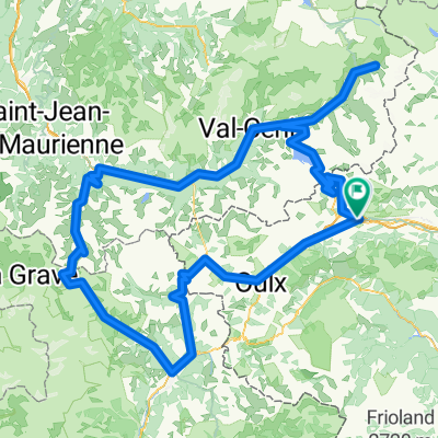
 Le Tour De France: Stage 12
- Distance
- 143.6 km
- Ascent
- 4,463 m
- Descent
- 2,297 m
- Location
- Susa, Piedmont, Italy
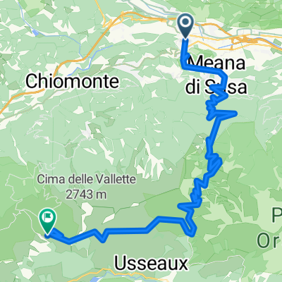 From Susa to Usseaux
- Distance
- 32.8 km
- Ascent
- 2,847 m
- Descent
- 1,007 m
- Location
- Susa, Piedmont, Italy
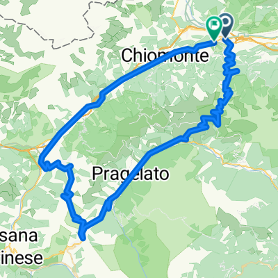 Finestre
- Distance
- 90.6 km
- Ascent
- 3,975 m
- Descent
- 3,949 m
- Location
- Susa, Piedmont, Italy
 Colle della Finestre_Basic
- Distance
- 19.5 km
- Ascent
- 2,024 m
- Descent
- 348 m
- Location
- Susa, Piedmont, Italy
 From Susa to Val-Cenis
- Distance
- 322.2 km
- Ascent
- 9,898 m
- Descent
- 9,892 m
- Location
- Susa, Piedmont, Italy
Open it in the app