
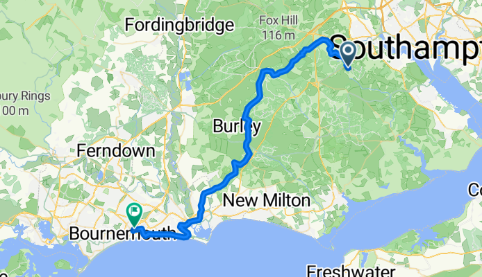
Ashford Camp to Bournemouth Station
A cycling route starting in Lyndhurst, England, United Kingdom.
Overview
About this route
- 3 h 3 min
- Duration
- 48 km
- Distance
- 345 m
- Ascent
- 330 m
- Descent
- 15.7 km/h
- Avg. speed
- 100 m
- Max. altitude

Route quality
Waytypes & surfaces along the route
Waytypes
Quiet road
26.4 km
(55 %)
Track
11.5 km
(24 %)
Surfaces
Paved
29.8 km
(62 %)
Unpaved
10.6 km
(22 %)
Asphalt
22.6 km
(47 %)
Gravel
10.1 km
(21 %)
Continue with Bikemap
Use, edit, or download this cycling route
You would like to ride Ashford Camp to Bournemouth Station or customize it for your own trip? Here is what you can do with this Bikemap route:
Free features
- Save this route as favorite or in collections
- Copy & plan your own version of this route
- Sync your route with Garmin or Wahoo
Premium features
Free trial for 3 days, or one-time payment. More about Bikemap Premium.
- Navigate this route on iOS & Android
- Export a GPX / KML file of this route
- Create your custom printout (try it for free)
- Download this route for offline navigation
Discover more Premium features.
Get Bikemap PremiumFrom our community
Other popular routes starting in Lyndhurst
 dads route my bike
- Distance
- 14.7 km
- Ascent
- 180 m
- Descent
- 185 m
- Location
- Lyndhurst, England, United Kingdom
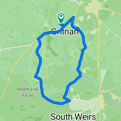
 New Forest route (Figure 8)
- Distance
- 54.5 km
- Ascent
- 334 m
- Descent
- 332 m
- Location
- Lyndhurst, England, United Kingdom
 New Forest
- Distance
- 44.8 km
- Ascent
- 186 m
- Descent
- 192 m
- Location
- Lyndhurst, England, United Kingdom
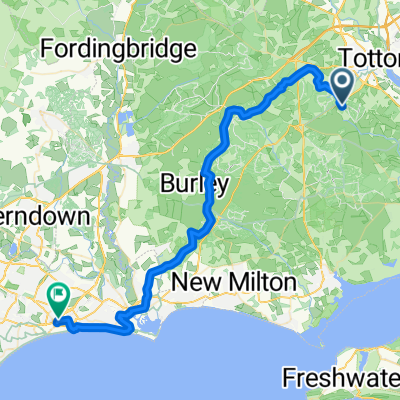 Ashford Camp to Bournemouth Station
- Distance
- 48 km
- Ascent
- 345 m
- Descent
- 330 m
- Location
- Lyndhurst, England, United Kingdom
 77 High St, Lyndhurst to 77 High St, Lyndhurst
- Distance
- 25.1 km
- Ascent
- 199 m
- Descent
- 199 m
- Location
- Lyndhurst, England, United Kingdom
 Burbush hill back thru Burley to BH24 4EF
- Distance
- 5.6 km
- Ascent
- 53 m
- Descent
- 43 m
- Location
- Lyndhurst, England, United Kingdom
 Beaulieu Road to Beaulieu Road
- Distance
- 31.2 km
- Ascent
- 20 m
- Descent
- 20 m
- Location
- Lyndhurst, England, United Kingdom
 Attempted a created Ashurst to Lyndhurst loop!
- Distance
- 21.3 km
- Ascent
- 156 m
- Descent
- 213 m
- Location
- Lyndhurst, England, United Kingdom
Open it in the app