
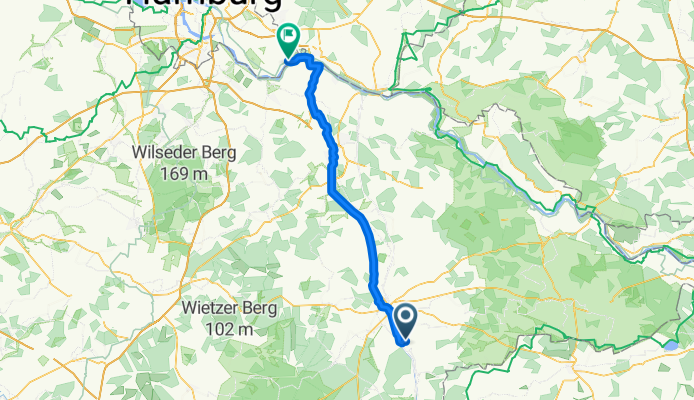
Overview
About this route
- 4 h 39 min
- Duration
- 79.7 km
- Distance
- 194 m
- Ascent
- 249 m
- Descent
- 17.2 km/h
- Avg. speed
- 89 m
- Max. altitude
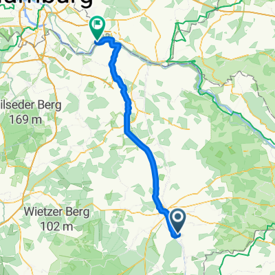
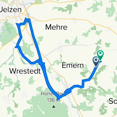
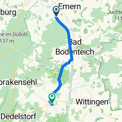
Part of
gesamt Gö nach Altengamme
3 stages
Route quality
Waytypes & surfaces along the route
Waytypes
Path
43 km
(54 %)
Quiet road
16.7 km
(21 %)
Surfaces
Paved
65.3 km
(82 %)
Unpaved
6.4 km
(8 %)
Asphalt
59.8 km
(75 %)
Loose gravel
4.8 km
(6 %)
Continue with Bikemap
Use, edit, or download this cycling route
You would like to ride Wrestedt - Drage or customize it for your own trip? Here is what you can do with this Bikemap route:
Free features
- Save this route as favorite or in collections
- Copy & plan your own version of this route
- Sync your route with Garmin or Wahoo
Premium features
Free trial for 3 days, or one-time payment. More about Bikemap Premium.
- Navigate this route on iOS & Android
- Export a GPX / KML file of this route
- Create your custom printout (try it for free)
- Download this route for offline navigation
Discover more Premium features.
Get Bikemap PremiumFrom our community
Other popular routes starting in Wieren
 Testroute
- Distance
- 7.9 km
- Ascent
- 78 m
- Descent
- 90 m
- Location
- Wieren, Lower Saxony, Germany
 Wrestedt - Drage
- Distance
- 79.7 km
- Ascent
- 194 m
- Descent
- 249 m
- Location
- Wieren, Lower Saxony, Germany
 An der Aue 3, Wrestedt nach Celler Straße 73, Uelzen
- Distance
- 15.5 km
- Ascent
- 76 m
- Descent
- 91 m
- Location
- Wieren, Lower Saxony, Germany
 Wieren--Uelzen
- Distance
- 14.2 km
- Ascent
- 52 m
- Descent
- 71 m
- Location
- Wieren, Lower Saxony, Germany
 Lübeck -> München 2. Etappe
- Distance
- 102.2 km
- Ascent
- 58 m
- Descent
- 66 m
- Location
- Wieren, Lower Saxony, Germany
 Kroetze Runde 12.8.2022
- Distance
- 37.9 km
- Ascent
- 111 m
- Descent
- 117 m
- Location
- Wieren, Lower Saxony, Germany
 Unter den Eichen 4, Bad Bodenteich nach Unter den Eichen 8, Bad Bodenteich
- Distance
- 9.5 km
- Ascent
- 61 m
- Descent
- 52 m
- Location
- Wieren, Lower Saxony, Germany
 Wrestedt nach Helmrichsweg, Hankensbüttel
- Distance
- 22.6 km
- Ascent
- 51 m
- Descent
- 23 m
- Location
- Wieren, Lower Saxony, Germany
Open it in the app