
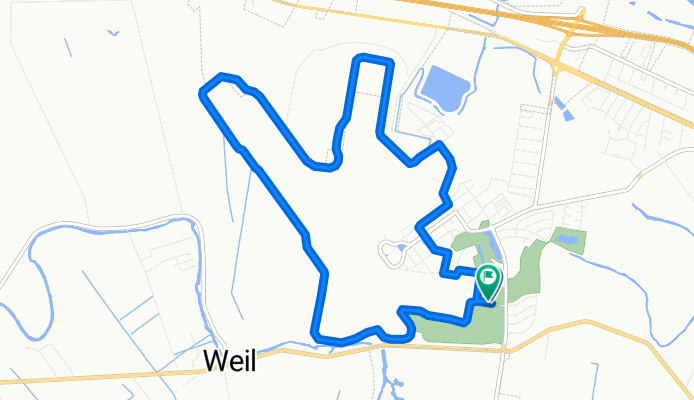
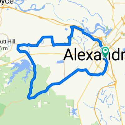
AEX Trail
A cycling route starting in Alexandria, Louisiana, United States.
Overview
About this route
- 1 h 1 min
- Duration
- 15 km
- Distance
- 86 m
- Ascent
- 66 m
- Descent
- 14.9 km/h
- Avg. speed
- 31 m
- Max. altitude

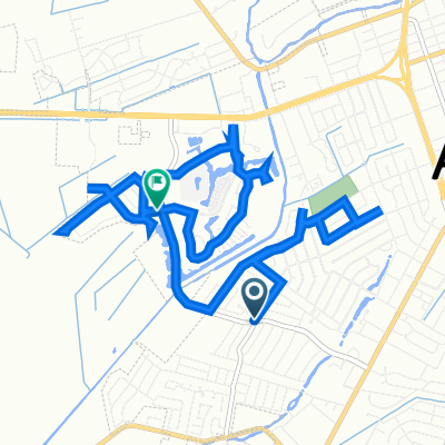
Route photos


Continue with Bikemap
Use, edit, or download this cycling route
You would like to ride AEX Trail or customize it for your own trip? Here is what you can do with this Bikemap route:
Free features
- Save this route as favorite or in collections
- Copy & plan your own version of this route
- Sync your route with Garmin or Wahoo
Premium features
Free trial for 3 days, or one-time payment. More about Bikemap Premium.
- Navigate this route on iOS & Android
- Export a GPX / KML file of this route
- Create your custom printout (try it for free)
- Download this route for offline navigation
Discover more Premium features.
Get Bikemap PremiumFrom our community
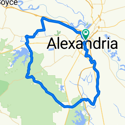
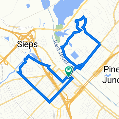
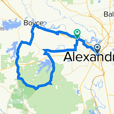
Other popular routes starting in Alexandria
 80k Route
- Distance
- 80.1 km
- Ascent
- 122 m
- Descent
- 126 m
- Location
- Alexandria, Louisiana, United States
 LAAMPO Bike tour
- Distance
- 12.2 km
- Ascent
- 79 m
- Descent
- 80 m
- Location
- Alexandria, Louisiana, United States
 Alexandria - Kountze
- Distance
- 248.4 km
- Ascent
- 171 m
- Descent
- 163 m
- Location
- Alexandria, Louisiana, United States
 60 mile
- Distance
- 88.3 km
- Ascent
- 412 m
- Descent
- 416 m
- Location
- Alexandria, Louisiana, United States
 40 mile Loop
- Distance
- 64 km
- Ascent
- 68 m
- Descent
- 72 m
- Location
- Alexandria, Louisiana, United States
 Recovered Route
- Distance
- 14.6 km
- Ascent
- 13 m
- Descent
- 14 m
- Location
- Alexandria, Louisiana, United States
 9 Alexandria-Woodville 209
- Distance
- 207.8 km
- Ascent
- 343 m
- Descent
- 280 m
- Location
- Alexandria, Louisiana, United States
 1716–1730 Shirley Park Pl, Alexandria to 110 Poole Dr, Ball
- Distance
- 14.7 km
- Ascent
- 103 m
- Descent
- 86 m
- Location
- Alexandria, Louisiana, United States
Open it in the app