
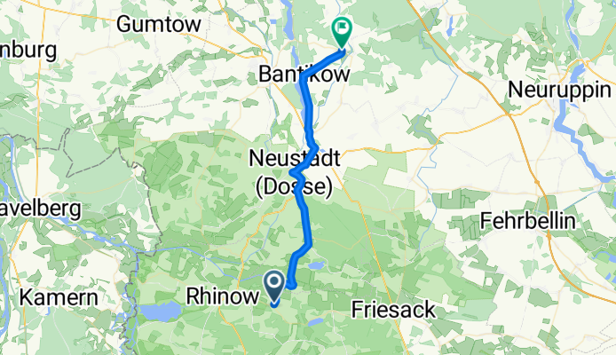
Rhinow - Kyritz
A cycling route starting in Rhinow, Brandenburg, Germany.
Overview
About this route
- 1 h 47 min
- Duration
- 30.1 km
- Distance
- 23 m
- Ascent
- 0 m
- Descent
- 16.8 km/h
- Avg. speed
- 50 m
- Max. altitude
Continue with Bikemap
Use, edit, or download this cycling route
You would like to ride Rhinow - Kyritz or customize it for your own trip? Here is what you can do with this Bikemap route:
Free features
- Save this route as favorite or in collections
- Copy & plan your own version of this route
- Sync your route with Garmin or Wahoo
Premium features
Free trial for 3 days, or one-time payment. More about Bikemap Premium.
- Navigate this route on iOS & Android
- Export a GPX / KML file of this route
- Create your custom printout (try it for free)
- Download this route for offline navigation
Discover more Premium features.
Get Bikemap PremiumFrom our community
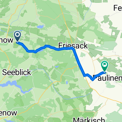
Other popular routes starting in Rhinow
 Rhinower Ländchen Tour
- Distance
- 72.3 km
- Ascent
- 80 m
- Descent
- 80 m
- Location
- Rhinow, Brandenburg, Germany
 7. Etappe Stölln - Wittenberge
- Distance
- 66.4 km
- Ascent
- 50 m
- Descent
- 58 m
- Location
- Rhinow, Brandenburg, Germany
 Prietzener Straße 18, Rhinow nach Hauptstraße 6, Kotzen
- Distance
- 25.4 km
- Ascent
- 101 m
- Descent
- 92 m
- Location
- Rhinow, Brandenburg, Germany
 L17, Gollenberg nach Karlsauer Weg 12, Mühlenberge
- Distance
- 26 km
- Ascent
- 41 m
- Descent
- 105 m
- Location
- Rhinow, Brandenburg, Germany
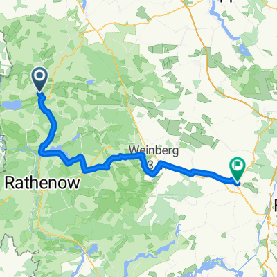 Rhinow - Nauen
- Distance
- 60.7 km
- Ascent
- 222 m
- Descent
- 209 m
- Location
- Rhinow, Brandenburg, Germany
 Easy ride in Rhinow
- Distance
- 18.1 km
- Ascent
- 3 m
- Descent
- 9 m
- Location
- Rhinow, Brandenburg, Germany
 Rhinow-Spandau
- Distance
- 72.3 km
- Ascent
- 59 m
- Descent
- 52 m
- Location
- Rhinow, Brandenburg, Germany
 von Stölln nach Klein Behnitz
- Distance
- 60.2 km
- Ascent
- 151 m
- Descent
- 145 m
- Location
- Rhinow, Brandenburg, Germany
Open it in the app