
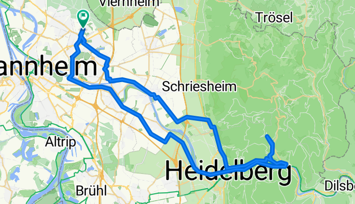
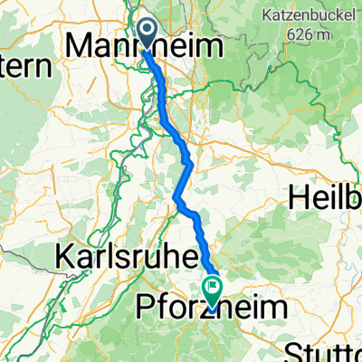
HD Traillauf
A cycling route starting in Mannheim, Baden-Wurttemberg, Germany.
Overview
About this route
- 3 h 47 min
- Duration
- 62.1 km
- Distance
- 504 m
- Ascent
- 504 m
- Descent
- 16.4 km/h
- Avg. speed
- 259 m
- Max. altitude

Route quality
Waytypes & surfaces along the route
Waytypes
Path
21.7 km
(35 %)
Quiet road
19.2 km
(31 %)
Surfaces
Paved
57.7 km
(93 %)
Unpaved
0.6 km
(1 %)
Asphalt
55.9 km
(90 %)
Concrete
1.2 km
(2 %)
Continue with Bikemap
Use, edit, or download this cycling route
You would like to ride HD Traillauf or customize it for your own trip? Here is what you can do with this Bikemap route:
Free features
- Save this route as favorite or in collections
- Copy & plan your own version of this route
- Sync your route with Garmin or Wahoo
Premium features
Free trial for 3 days, or one-time payment. More about Bikemap Premium.
- Navigate this route on iOS & Android
- Export a GPX / KML file of this route
- Create your custom printout (try it for free)
- Download this route for offline navigation
Discover more Premium features.
Get Bikemap PremiumFrom our community
Other popular routes starting in Mannheim
 Feierabendrunde
- Distance
- 37.5 km
- Ascent
- 45 m
- Descent
- 45 m
- Location
- Mannheim, Baden-Wurttemberg, Germany
 Trainingsrunde
- Distance
- 69.5 km
- Ascent
- 630 m
- Descent
- 619 m
- Location
- Mannheim, Baden-Wurttemberg, Germany
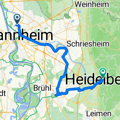 Von Mannheim bis Heidelberg
- Distance
- 37.9 km
- Ascent
- 85 m
- Descent
- 63 m
- Location
- Mannheim, Baden-Wurttemberg, Germany
 Apfelbaumtour 2
- Distance
- 70.6 km
- Ascent
- 1,077 m
- Descent
- 1,081 m
- Location
- Mannheim, Baden-Wurttemberg, Germany
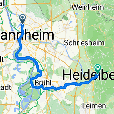 Von Mannheim bis Heidelberg über Schwetzingen länger
- Distance
- 41.3 km
- Ascent
- 123 m
- Descent
- 103 m
- Location
- Mannheim, Baden-Wurttemberg, Germany
 ZARM 2026 1. Tag
- Distance
- 50.1 km
- Ascent
- 396 m
- Descent
- 233 m
- Location
- Mannheim, Baden-Wurttemberg, Germany
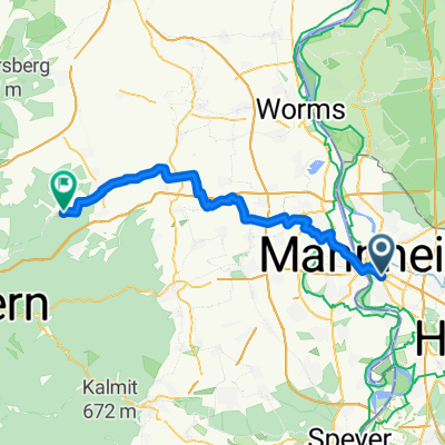
 Worms - Bruchsal
- Distance
- 85.8 km
- Ascent
- 656 m
- Descent
- 481 m
- Location
- Mannheim, Baden-Wurttemberg, Germany
 Weinheimer Straße, Mannheim nach Großsachsener Straße, Hirschberg an der Bergstraße
- Distance
- 13 km
- Ascent
- 37 m
- Descent
- 19 m
- Location
- Mannheim, Baden-Wurttemberg, Germany
Open it in the app