
Passau-Wien
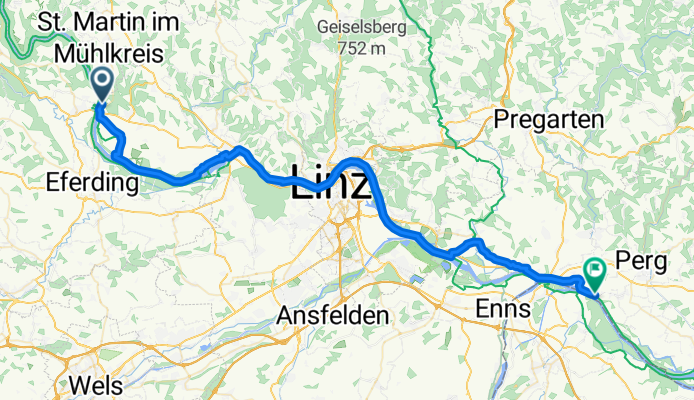
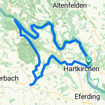
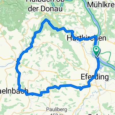
Von Feldkirchen an der Donau bis Naarn im Machlande
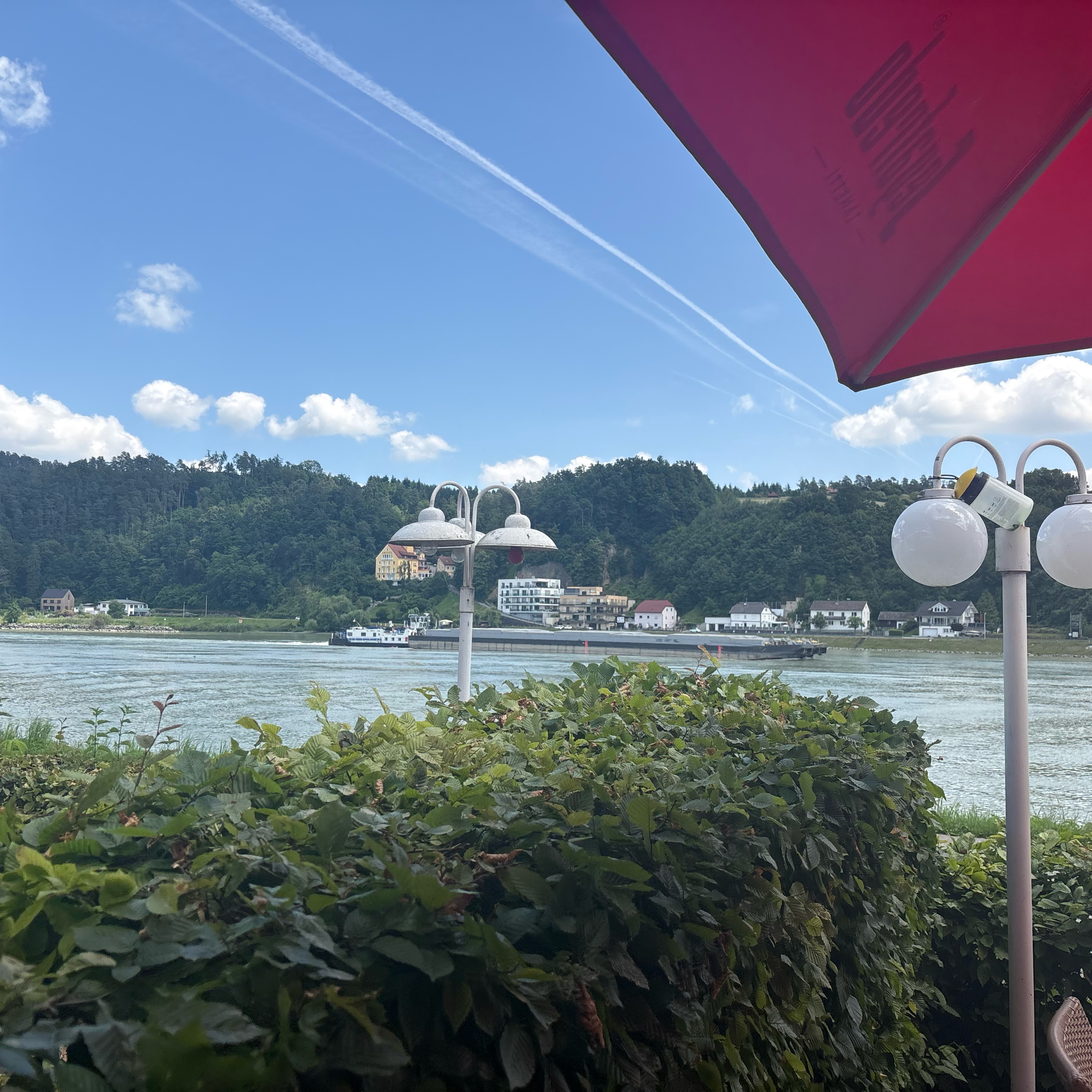
A cycling route starting in Feldkirchen an der Donau, Upper Austria, Austria.
Overview
About this route
- 3 h 8 min
- Duration
- 58.2 km
- Distance
- 85 m
- Ascent
- 145 m
- Descent
- 18.6 km/h
- Avg. speed
- 308 m
- Max. altitude

Part of
Passau-Wien
5 stages
Route quality
Waytypes & surfaces along the route
Waytypes
Cycleway
37.2 km
(64 %)
Quiet road
13.4 km
(23 %)
Surfaces
Paved
56.4 km
(97 %)
Asphalt
56.4 km
(97 %)
Undefined
1.7 km
(3 %)
Continue with Bikemap
Use, edit, or download this cycling route
You would like to ride Von Feldkirchen an der Donau bis Naarn im Machlande or customize it for your own trip? Here is what you can do with this Bikemap route:
Free features
- Save this route as favorite or in collections
- Copy & plan your own version of this route
- Sync your route with Garmin or Wahoo
Premium features
Free trial for 3 days, or one-time payment. More about Bikemap Premium.
- Navigate this route on iOS & Android
- Export a GPX / KML file of this route
- Create your custom printout (try it for free)
- Download this route for offline navigation
Discover more Premium features.
Get Bikemap PremiumFrom our community
Other popular routes starting in Feldkirchen an der Donau
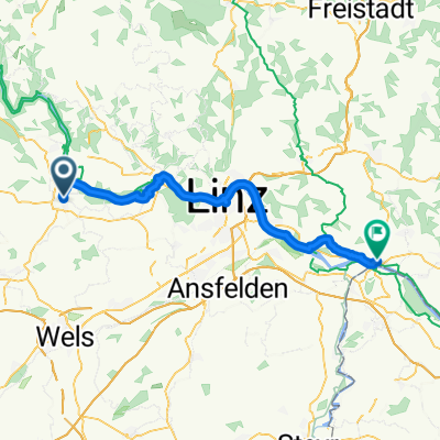 D03 Eferding to Mauthausen
- Distance
- 55 km
- Ascent
- 169 m
- Descent
- 197 m
- Location
- Feldkirchen an der Donau, Upper Austria, Austria
 Von Feldkirchen an der Donau bis Naarn im Machlande
- Distance
- 58.2 km
- Ascent
- 85 m
- Descent
- 145 m
- Location
- Feldkirchen an der Donau, Upper Austria, Austria
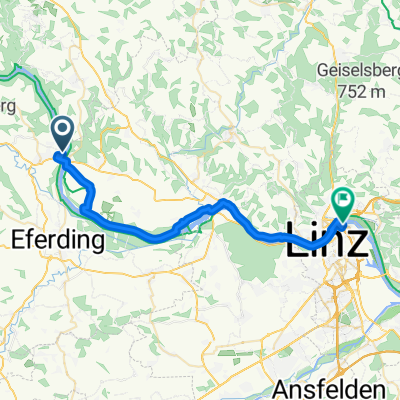 Donausteig Passau-Linz-St Nikola, Aschach an der Donau - Am Winterhafen, Linz
- Distance
- 30.6 km
- Ascent
- 58 m
- Descent
- 70 m
- Location
- Feldkirchen an der Donau, Upper Austria, Austria
 W-09_Aschach-Ardagger_83km
- Distance
- 83.3 km
- Ascent
- 192 m
- Descent
- 233 m
- Location
- Feldkirchen an der Donau, Upper Austria, Austria
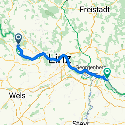
 Donausteig Passau-Linz-St Nikola, Aschach an der Donau nach Gusenstraße, Gallneukirchen
- Distance
- 43.4 km
- Ascent
- 318 m
- Descent
- 253 m
- Location
- Feldkirchen an der Donau, Upper Austria, Austria
 Donauradweg - Aschachtal - Runde
- Distance
- 72.7 km
- Ascent
- 1,725 m
- Descent
- 1,725 m
- Location
- Feldkirchen an der Donau, Upper Austria, Austria
 Brandstatt nach Brandstatt
- Distance
- 48.5 km
- Ascent
- 715 m
- Descent
- 717 m
- Location
- Feldkirchen an der Donau, Upper Austria, Austria
 aschach _ottensheim __linz bhf
- Distance
- 31.4 km
- Ascent
- 67 m
- Descent
- 73 m
- Location
- Feldkirchen an der Donau, Upper Austria, Austria
Open it in the app