
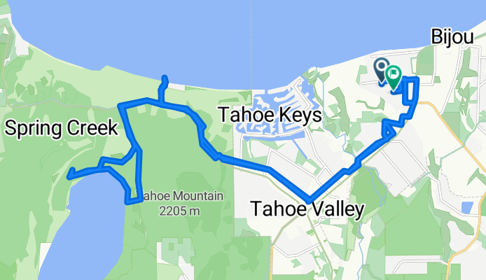
Capistrano Ave, South Lake Tahoe to Capistrano Ave, South Lake Tahoe
A cycling route starting in South Lake Tahoe, California, United States.
Overview
About this route
- 1 h 33 min
- Duration
- 30.3 km
- Distance
- 132 m
- Ascent
- 128 m
- Descent
- 19.6 km/h
- Avg. speed
- 1,960 m
- Max. altitude

Continue with Bikemap
Use, edit, or download this cycling route
You would like to ride Capistrano Ave, South Lake Tahoe to Capistrano Ave, South Lake Tahoe or customize it for your own trip? Here is what you can do with this Bikemap route:
Free features
- Save this route as favorite or in collections
- Copy & plan your own version of this route
- Sync your route with Garmin or Wahoo
Premium features
Free trial for 3 days, or one-time payment. More about Bikemap Premium.
- Navigate this route on iOS & Android
- Export a GPX / KML file of this route
- Create your custom printout (try it for free)
- Download this route for offline navigation
Discover more Premium features.
Get Bikemap PremiumFrom our community
Other popular routes starting in South Lake Tahoe
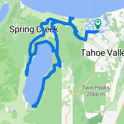 Lucerne Way, South Lake Tahoe to Lucerne Way, South Lake Tahoe
- Distance
- 35.9 km
- Ascent
- 1,003 m
- Descent
- 1,006 m
- Location
- South Lake Tahoe, California, United States
 Emigrant Loop
- Distance
- 81.9 km
- Ascent
- 1,296 m
- Descent
- 1,299 m
- Location
- South Lake Tahoe, California, United States
 emerald bay out n back
- Distance
- 30.8 km
- Ascent
- 257 m
- Descent
- 256 m
- Location
- South Lake Tahoe, California, United States
 Easy ride in South Lake Tahoe
- Distance
- 6.2 km
- Ascent
- 28 m
- Descent
- 16 m
- Location
- South Lake Tahoe, California, United States
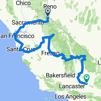 From Felicity to Smith River
- Distance
- 2,111.3 km
- Ascent
- 42,691 m
- Descent
- 43,937 m
- Location
- South Lake Tahoe, California, United States
 elks point out n back
- Distance
- 19.7 km
- Ascent
- 187 m
- Descent
- 187 m
- Location
- South Lake Tahoe, California, United States
 Tour of Lake Tahoe 2017
- Distance
- 122.8 km
- Ascent
- 730 m
- Descent
- 730 m
- Location
- South Lake Tahoe, California, United States
 3304 Cape Horn Rd, South Lake Tahoe to 513–515 Emerald Bay Rd, South Lake Tahoe
- Distance
- 9.6 km
- Ascent
- 69 m
- Descent
- 66 m
- Location
- South Lake Tahoe, California, United States
Open it in the app