
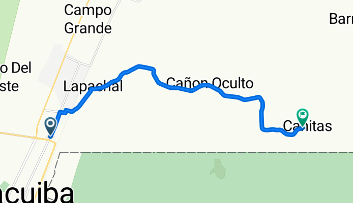
ruta para el 12
A cycling route starting in Yacuiba, Tarija Department, Bolivia.
Overview
About this route
- 47 min
- Duration
- 12.4 km
- Distance
- 165 m
- Ascent
- 166 m
- Descent
- 16 km/h
- Avg. speed
- 756 m
- Max. altitude
Route quality
Waytypes & surfaces along the route
Waytypes
Road
9.8 km
(79 %)
Quiet road
2.6 km
(21 %)
Surfaces
Paved
9.7 km
(78 %)
Unpaved
2.5 km
(20 %)
Asphalt
9.7 km
(78 %)
Unpaved (undefined)
2.5 km
(20 %)
Undefined
0.2 km
(2 %)
Continue with Bikemap
Use, edit, or download this cycling route
You would like to ride ruta para el 12 or customize it for your own trip? Here is what you can do with this Bikemap route:
Free features
- Save this route as favorite or in collections
- Copy & plan your own version of this route
- Sync your route with Garmin or Wahoo
Premium features
Free trial for 3 days, or one-time payment. More about Bikemap Premium.
- Navigate this route on iOS & Android
- Export a GPX / KML file of this route
- Create your custom printout (try it for free)
- Download this route for offline navigation
Discover more Premium features.
Get Bikemap PremiumFrom our community
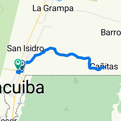
Other popular routes starting in Yacuiba
 ruta para el 12
- Distance
- 12.4 km
- Ascent
- 165 m
- Descent
- 166 m
- Location
- Yacuiba, Tarija Department, Bolivia
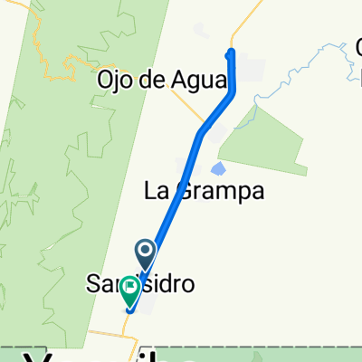
 Paseo tranquilo
- Distance
- 8.7 km
- Ascent
- 34 m
- Descent
- 66 m
- Location
- Yacuiba, Tarija Department, Bolivia
 domingo 12
- Distance
- 25.6 km
- Ascent
- 341 m
- Descent
- 335 m
- Location
- Yacuiba, Tarija Department, Bolivia
 De Yacuíba a 288H+HRG, Yacuíba
- Distance
- 25.9 km
- Ascent
- 140 m
- Descent
- 118 m
- Location
- Yacuiba, Tarija Department, Bolivia
Open it in the app