
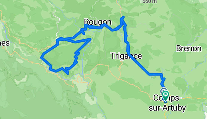
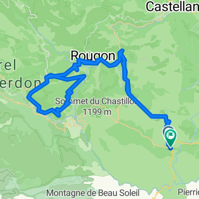
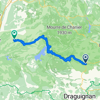
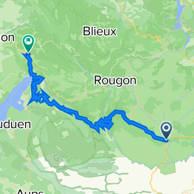
Route de Jabron, Comps-sur-Artuby to Avenue du Fayet, Comps-sur-Artuby
A cycling route starting in Bargemon, Provence-Alpes-Côte d'Azur Region, France.
Overview
About this route
- 5 h 50 min
- Duration
- 80.9 km
- Distance
- 1,945 m
- Ascent
- 1,927 m
- Descent
- 13.9 km/h
- Avg. speed
- 1,343 m
- Max. altitude

Route quality
Waytypes & surfaces along the route
Waytypes
Road
21 km
(26 %)
Track
3.2 km
(4 %)
Undefined
56.6 km
(70 %)
Surfaces
Paved
77.7 km
(96 %)
Unpaved
2.4 km
(3 %)
Asphalt
77.7 km
(96 %)
Unpaved (undefined)
1.6 km
(2 %)
Continue with Bikemap
Use, edit, or download this cycling route
You would like to ride Route de Jabron, Comps-sur-Artuby to Avenue du Fayet, Comps-sur-Artuby or customize it for your own trip? Here is what you can do with this Bikemap route:
Free features
- Save this route as favorite or in collections
- Copy & plan your own version of this route
- Split it into stages to create a multi-day tour
- Sync your route with Garmin or Wahoo
Premium features
Free trial for 3 days, or one-time payment. More about Bikemap Premium.
- Navigate this route on iOS & Android
- Export a GPX / KML file of this route
- Create your custom printout (try it for free)
- Download this route for offline navigation
Discover more Premium features.
Get Bikemap PremiumFrom our community
Other popular routes starting in Bargemon
 Route de Jabron, Comps-sur-Artuby to Avenue du Fayet, Comps-sur-Artuby
- Distance
- 80.9 km
- Ascent
- 1,945 m
- Descent
- 1,927 m
- Location
- Bargemon, Provence-Alpes-Côte d'Azur Region, France
 Z Horní Provance na Azurové pobřeží - 5. den
- Distance
- 45.7 km
- Ascent
- 783 m
- Descent
- 1,223 m
- Location
- Bargemon, Provence-Alpes-Côte d'Azur Region, France
 VR8 5
VR8 5- Distance
- 79.6 km
- Ascent
- 354 m
- Descent
- 723 m
- Location
- Bargemon, Provence-Alpes-Côte d'Azur Region, France
 Francie2013-3
- Distance
- 65.1 km
- Ascent
- 1,392 m
- Descent
- 1,392 m
- Location
- Bargemon, Provence-Alpes-Côte d'Azur Region, France
 Strecke B: Comps sur Artuby-Valensole
- Distance
- 80.7 km
- Ascent
- 1,119 m
- Descent
- 1,460 m
- Location
- Bargemon, Provence-Alpes-Côte d'Azur Region, France
 Verdon Schlucht
- Distance
- 54 km
- Ascent
- 870 m
- Descent
- 1,268 m
- Location
- Bargemon, Provence-Alpes-Côte d'Azur Region, France
 Day 1 Comps-su-Artuby - Gorge du Verdon - Moustiers
- Distance
- 52 km
- Ascent
- 1,783 m
- Descent
- 2,094 m
- Location
- Bargemon, Provence-Alpes-Côte d'Azur Region, France
 45km Col du Bel Homme (2) - Tour de Canjuers
- Distance
- 44.9 km
- Ascent
- 784 m
- Descent
- 786 m
- Location
- Bargemon, Provence-Alpes-Côte d'Azur Region, France
Open it in the app