
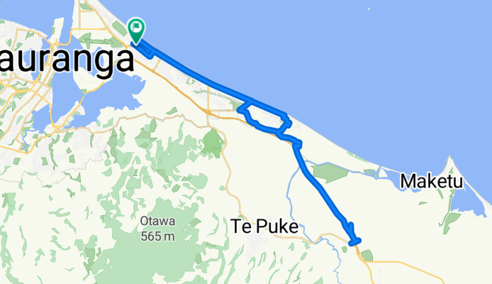
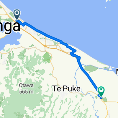
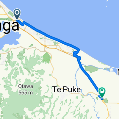
Mount Maunganui to Mount Maunganui
A cycling route starting in Tauranga, Bay of Plenty Region, New Zealand.
Overview
About this route
Discover an invigorating cycling adventure through scenic landscapes and gentle terrain. This 50.2 km route offers a delightful mix of flat stretches and mild climbs, perfect for both leisurely rides and spirited explorations. With an elevation gain of just 24 meters and a descent of 23 meters, you'll enjoy a smooth and enjoyable journey. The route's maximum elevation is a modest 15 meters, ensuring an accessible yet rewarding experience for all cyclists. Embrace the beauty of the surroundings while staying comfortable on paved paths that promise a smooth ride.
AI generated
- 2 h 24 min
- Duration
- 50.2 km
- Distance
- 25 m
- Ascent
- 24 m
- Descent
- 20.9 km/h
- Avg. speed
- 15 m
- Max. altitude

Route quality
Waytypes & surfaces along the route
Waytypes
Cycleway
20.1 km
(40 %)
Road
9 km
(18 %)
Surfaces
Paved
44.2 km
(88 %)
Unpaved
5 km
(10 %)
Asphalt
39.1 km
(78 %)
Loose gravel
4.5 km
(9 %)
Continue with Bikemap
Use, edit, or download this cycling route
You would like to ride Mount Maunganui to Mount Maunganui or customize it for your own trip? Here is what you can do with this Bikemap route:
Free features
- Save this route as favorite or in collections
- Copy & plan your own version of this route
- Sync your route with Garmin or Wahoo
Premium features
Free trial for 3 days, or one-time payment. More about Bikemap Premium.
- Navigate this route on iOS & Android
- Export a GPX / KML file of this route
- Create your custom printout (try it for free)
- Download this route for offline navigation
Discover more Premium features.
Get Bikemap PremiumFrom our community
Other popular routes starting in Tauranga
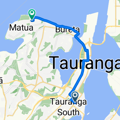 Fraser Street to Clivedene Street
- Distance
- 8.8 km
- Ascent
- 50 m
- Descent
- 52 m
- Location
- Tauranga, Bay of Plenty Region, New Zealand
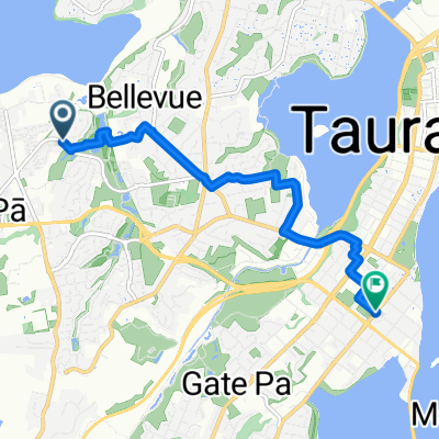
 Tauranga Lawn Tennis Club
- Distance
- 12.8 km
- Ascent
- 97 m
- Descent
- 92 m
- Location
- Tauranga, Bay of Plenty Region, New Zealand
 Recovered Route
- Distance
- 132.7 km
- Ascent
- 3,746 m
- Descent
- 3,427 m
- Location
- Tauranga, Bay of Plenty Region, New Zealand
 Sutton Way to Fifteenth Avenue
- Distance
- 7.3 km
- Ascent
- 102 m
- Descent
- 90 m
- Location
- Tauranga, Bay of Plenty Region, New Zealand
 Mount Maunganui to Mount Maunganui
- Distance
- 50.2 km
- Ascent
- 25 m
- Descent
- 24 m
- Location
- Tauranga, Bay of Plenty Region, New Zealand
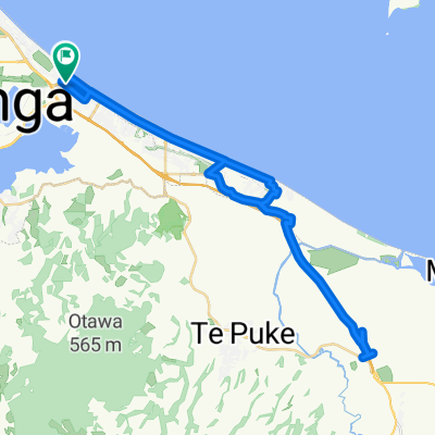
 From Mount Maunganui to Paengaroa
- Distance
- 25.5 km
- Ascent
- 31 m
- Descent
- 25 m
- Location
- Tauranga, Bay of Plenty Region, New Zealand
 EC Omotai Morning Loop
- Distance
- 12.5 km
- Ascent
- 555 m
- Descent
- 556 m
- Location
- Tauranga, Bay of Plenty Region, New Zealand
 From Mount Maunganui to Paengaroa
- Distance
- 25.5 km
- Ascent
- 28 m
- Descent
- 22 m
- Location
- Tauranga, Bay of Plenty Region, New Zealand
Open it in the app