
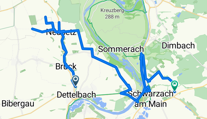
KIT_06_completion_Trace
A cycling route starting in Dettelbach, Bavaria, Germany.
Overview
About this route
- 2 h 9 min
- Duration
- 39.8 km
- Distance
- 278 m
- Ascent
- 324 m
- Descent
- 18.5 km/h
- Avg. speed
- 299 m
- Max. altitude

Route quality
Waytypes & surfaces along the route
Waytypes
Track
23.9 km
(60 %)
Access road
5.2 km
(13 %)
Surfaces
Paved
28.6 km
(72 %)
Unpaved
6.8 km
(17 %)
Asphalt
18.7 km
(47 %)
Paved (undefined)
7.6 km
(19 %)
Continue with Bikemap
Use, edit, or download this cycling route
You would like to ride KIT_06_completion_Trace or customize it for your own trip? Here is what you can do with this Bikemap route:
Free features
- Save this route as favorite or in collections
- Copy & plan your own version of this route
- Sync your route with Garmin or Wahoo
Premium features
Free trial for 3 days, or one-time payment. More about Bikemap Premium.
- Navigate this route on iOS & Android
- Export a GPX / KML file of this route
- Create your custom printout (try it for free)
- Download this route for offline navigation
Discover more Premium features.
Get Bikemap PremiumFrom our community
Other popular routes starting in Dettelbach
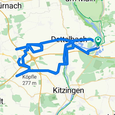
 Dettelb- Route 1 kurz
- Distance
- 17.1 km
- Ascent
- 194 m
- Descent
- 195 m
- Location
- Dettelbach, Bavaria, Germany
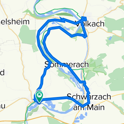 Mainschleife: Mainsondheim-Volkach retour
- Distance
- 33.3 km
- Ascent
- 210 m
- Descent
- 210 m
- Location
- Dettelbach, Bavaria, Germany
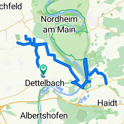
 Route in Dettelbach
- Distance
- 26.9 km
- Ascent
- 135 m
- Descent
- 136 m
- Location
- Dettelbach, Bavaria, Germany
 Route.KIT_09
- Distance
- 79.9 km
- Ascent
- 616 m
- Descent
- 616 m
- Location
- Dettelbach, Bavaria, Germany
 KIT_06_completion_Trace
- Distance
- 39.8 km
- Ascent
- 278 m
- Descent
- 324 m
- Location
- Dettelbach, Bavaria, Germany
 Kripo Radtour 2014 - 2. Tag
- Distance
- 47 km
- Ascent
- 352 m
- Descent
- 258 m
- Location
- Dettelbach, Bavaria, Germany
 Dettelbach in den Steigerwald
- Distance
- 67.5 km
- Ascent
- 767 m
- Descent
- 754 m
- Location
- Dettelbach, Bavaria, Germany
 KIT_06_completion
- Distance
- 53.6 km
- Ascent
- 506 m
- Descent
- 503 m
- Location
- Dettelbach, Bavaria, Germany
Open it in the app