
Imported route
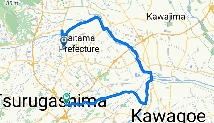
A cycling route starting in Sakado, Saitama, Japan.
Overview
About this route
- 1 h 16 min
- Duration
- 20.5 km
- Distance
- 56 m
- Ascent
- 41 m
- Descent
- 16.1 km/h
- Avg. speed
- 39 m
- Max. altitude

Continue with Bikemap
Use, edit, or download this cycling route
You would like to ride Imported route or customize it for your own trip? Here is what you can do with this Bikemap route:
Free features
- Save this route as favorite or in collections
- Copy & plan your own version of this route
- Sync your route with Garmin or Wahoo
Premium features
Free trial for 3 days, or one-time payment. More about Bikemap Premium.
- Navigate this route on iOS & Android
- Export a GPX / KML file of this route
- Create your custom printout (try it for free)
- Download this route for offline navigation
Discover more Premium features.
Get Bikemap PremiumFrom our community
Other popular routes starting in Sakado
 MyTraining_6.3km_A90m
- Distance
- 6.2 km
- Ascent
- 115 m
- Descent
- 113 m
- Location
- Sakado, Saitama, Japan
 takasaka road
- Distance
- 20.7 km
- Ascent
- 0 m
- Descent
- 0 m
- Location
- Sakado, Saitama, Japan
 intermediatte training
- Distance
- 27.1 km
- Ascent
- 908 m
- Descent
- 945 m
- Location
- Sakado, Saitama, Japan
 43 東松山・岩殿丘陵ルート
- Distance
- 5.4 km
- Ascent
- 93 m
- Descent
- 83 m
- Location
- Sakado, Saitama, Japan
 51 丘陵地と関東平野の始まりを走るルート
- Distance
- 12.4 km
- Ascent
- 166 m
- Descent
- 165 m
- Location
- Sakado, Saitama, Japan
 Commute to work Higashimatsuyama to Kawagoe
- Distance
- 19.8 km
- Ascent
- 29 m
- Descent
- 33 m
- Location
- Sakado, Saitama, Japan
 39 日光街道杉並木歴史に触れるルート
- Distance
- 11.5 km
- Ascent
- 103 m
- Descent
- 105 m
- Location
- Sakado, Saitama, Japan
 Higashimatsuyama to Mt.Fuji
- Distance
- 130 km
- Ascent
- 1,528 m
- Descent
- 711 m
- Location
- Sakado, Saitama, Japan
Open it in the app