
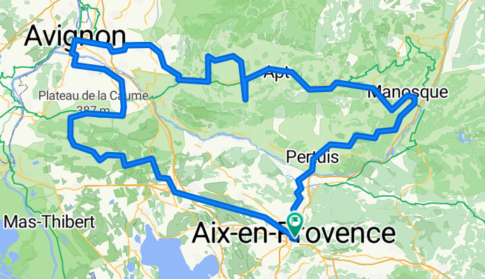
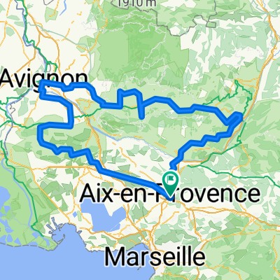
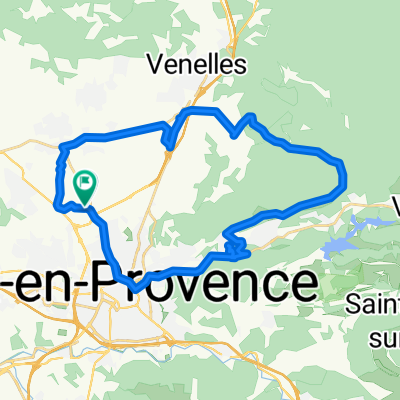
BTM provance propunere 1
A cycling route starting in Aix-en-Provence, Provence-Alpes-Côte d'Azur Region, France.
Overview
About this route
- 20 h 1 min
- Duration
- 322.3 km
- Distance
- 3,700 m
- Ascent
- 3,702 m
- Descent
- 16.1 km/h
- Avg. speed
- 680 m
- Max. altitude

Route quality
Waytypes & surfaces along the route
Waytypes
Quiet road
145 km
(45 %)
Road
67.7 km
(21 %)
Surfaces
Paved
180.5 km
(56 %)
Unpaved
12.9 km
(4 %)
Asphalt
180.5 km
(56 %)
Gravel
6.4 km
(2 %)
Continue with Bikemap
Use, edit, or download this cycling route
You would like to ride BTM provance propunere 1 or customize it for your own trip? Here is what you can do with this Bikemap route:
Free features
- Save this route as favorite or in collections
- Copy & plan your own version of this route
- Split it into stages to create a multi-day tour
- Sync your route with Garmin or Wahoo
Premium features
Free trial for 3 days, or one-time payment. More about Bikemap Premium.
- Navigate this route on iOS & Android
- Export a GPX / KML file of this route
- Create your custom printout (try it for free)
- Download this route for offline navigation
Discover more Premium features.
Get Bikemap PremiumFrom our community
Other popular routes starting in Aix-en-Provence
 Avenue Robert Schuman, Aix-en-Provence nach Boulevard Léon Jouhaux, Istres
- Distance
- 57.4 km
- Ascent
- 353 m
- Descent
- 516 m
- Location
- Aix-en-Provence, Provence-Alpes-Côte d'Azur Region, France
 BTM provance propunere 1
- Distance
- 322.3 km
- Ascent
- 3,700 m
- Descent
- 3,702 m
- Location
- Aix-en-Provence, Provence-Alpes-Côte d'Azur Region, France
 Chemin de Bouenhoure, Aix-en-Provence à Chemin de Bouenhoure, Aix-en-Provence
- Distance
- 31.8 km
- Ascent
- 362 m
- Descent
- 361 m
- Location
- Aix-en-Provence, Provence-Alpes-Côte d'Azur Region, France
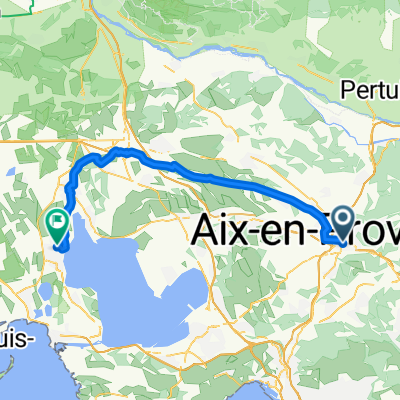
 Montagne Ste-Victoire
- Distance
- 64.1 km
- Ascent
- 818 m
- Descent
- 817 m
- Location
- Aix-en-Provence, Provence-Alpes-Côte d'Azur Region, France
 Chemin du Puy du Roy, Aix-en-Provence à Chemin du Puy du Roy, Aix-en-Provence
- Distance
- 34.3 km
- Ascent
- 917 m
- Descent
- 917 m
- Location
- Aix-en-Provence, Provence-Alpes-Côte d'Azur Region, France
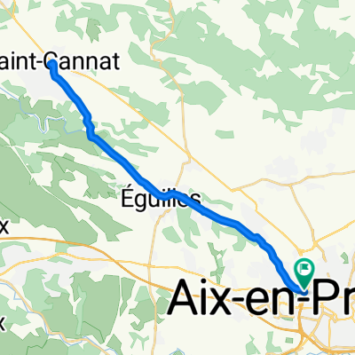
 Nord et ouest d'Aix en Provence
- Distance
- 39.6 km
- Ascent
- 294 m
- Descent
- 297 m
- Location
- Aix-en-Provence, Provence-Alpes-Côte d'Azur Region, France
 Chemin de Bouenhoure, Aix-en-Provence à Chemin de Bouenhoure, Aix-en-Provence
- Distance
- 15.8 km
- Ascent
- 170 m
- Descent
- 169 m
- Location
- Aix-en-Provence, Provence-Alpes-Côte d'Azur Region, France
 Descente marseille...
- Distance
- 71 km
- Ascent
- 534 m
- Descent
- 534 m
- Location
- Aix-en-Provence, Provence-Alpes-Côte d'Azur Region, France
Open it in the app