
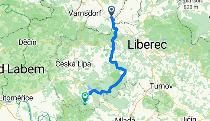
Overview
About this route
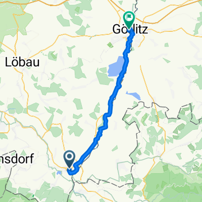
- 4 h 25 min
- Duration
- 75.3 km
- Distance
- 934 m
- Ascent
- 825 m
- Descent
- 17 km/h
- Avg. speed
- 474 m
- Max. altitude

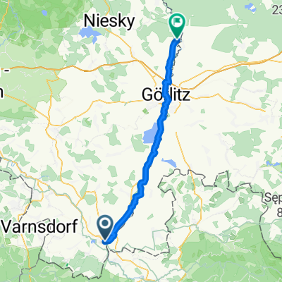
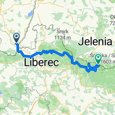
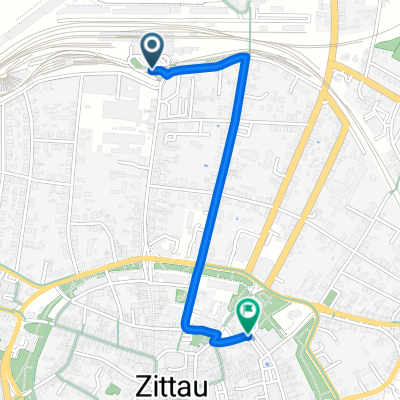
Part of
Von Zittau bis Wenzenbach
6 stages
Route quality
Waytypes & surfaces along the route
Waytypes
Road
22.6 km
(30 %)
Track
21.8 km
(29 %)
Surfaces
Paved
65.5 km
(87 %)
Unpaved
0.8 km
(1 %)
Asphalt
58.7 km
(78 %)
Paved (undefined)
6.8 km
(9 %)
Continue with Bikemap
Use, edit, or download this cycling route
You would like to ride Zittau - Mšeno or customize it for your own trip? Here is what you can do with this Bikemap route:
Free features
- Save this route as favorite or in collections
- Copy & plan your own version of this route
- Sync your route with Garmin or Wahoo
Premium features
Free trial for 3 days, or one-time payment. More about Bikemap Premium.
- Navigate this route on iOS & Android
- Export a GPX / KML file of this route
- Create your custom printout (try it for free)
- Download this route for offline navigation
Discover more Premium features.
Get Bikemap PremiumFrom our community
Other popular routes starting in Zittau
 Zittau - Pieńsk
- Distance
- 51.9 km
- Ascent
- 5 m
- Descent
- 82 m
- Location
- Zittau, Saxony, Germany
 Zittau-Trassenheide 1.Tag
- Distance
- 117.1 km
- Ascent
- 473 m
- Descent
- 600 m
- Location
- Zittau, Saxony, Germany
 Route nach Krummhübel
- Distance
- 120.3 km
- Ascent
- 3,199 m
- Descent
- 2,260 m
- Location
- Zittau, Saxony, Germany
 D 01 1,6km Zittau-Bhf.
- Distance
- 1.6 km
- Ascent
- 4 m
- Descent
- 17 m
- Location
- Zittau, Saxony, Germany
 Zittau - Usedom
- Distance
- 480.6 km
- Ascent
- 152 m
- Descent
- 394 m
- Location
- Zittau, Saxony, Germany
 urlaub 2019 teil 1
- Distance
- 898.1 km
- Ascent
- 240 m
- Descent
- 483 m
- Location
- Zittau, Saxony, Germany
 Von Zittau bis Reichenberg
- Distance
- 34.6 km
- Ascent
- 1,179 m
- Descent
- 456 m
- Location
- Zittau, Saxony, Germany
 D 01 42km Zittau-Görli
- Distance
- 42 km
- Ascent
- 277 m
- Descent
- 322 m
- Location
- Zittau, Saxony, Germany
Open it in the app