
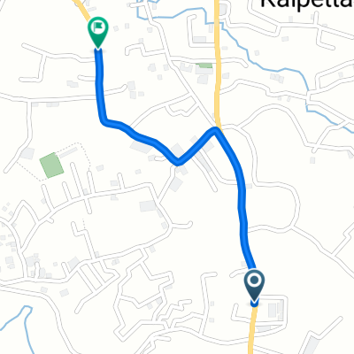
18/539 to 18/539
A cycling route starting in Kalpatta, Kerala, India.
Overview
About this route
- 1 h 22 min
- Duration
- 3.5 km
- Distance
- 112 m
- Ascent
- 0 m
- Descent
- 2.6 km/h
- Avg. speed
- 766 m
- Max. altitude
Continue with Bikemap
Use, edit, or download this cycling route
You would like to ride 18/539 to 18/539 or customize it for your own trip? Here is what you can do with this Bikemap route:
Free features
- Save this route as favorite or in collections
- Copy & plan your own version of this route
- Sync your route with Garmin or Wahoo
Premium features
Free trial for 3 days, or one-time payment. More about Bikemap Premium.
- Navigate this route on iOS & Android
- Export a GPX / KML file of this route
- Create your custom printout (try it for free)
- Download this route for offline navigation
Discover more Premium features.
Get Bikemap PremiumFrom our community
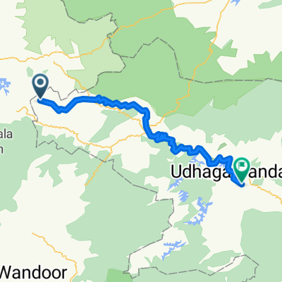
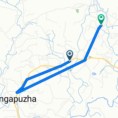
Other popular routes starting in Kalpatta
 Route from Erumad to ooty
- Distance
- 94.7 km
- Ascent
- 2,954 m
- Descent
- 1,563 m
- Location
- Kalpatta, Kerala, India
 morning ride
- Distance
- 9.6 km
- Ascent
- 100 m
- Descent
- 104 m
- Location
- Kalpatta, Kerala, India
 Route from Wayanad Road, Puduppadi
- Distance
- 5.3 km
- Ascent
- 8 m
- Descent
- 0 m
- Location
- Kalpatta, Kerala, India
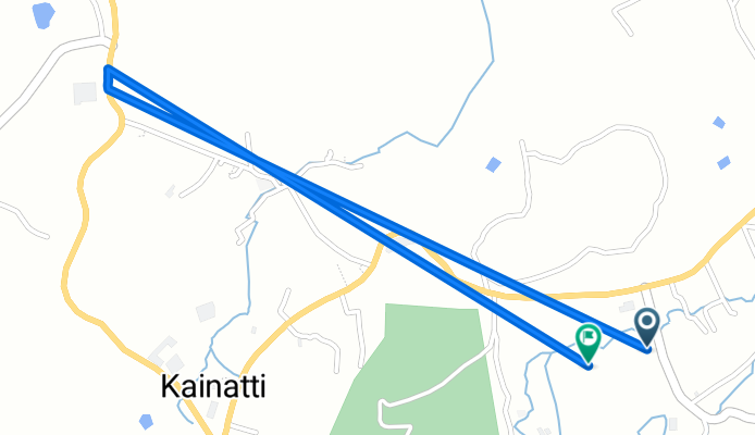
 National Highway 766, Kalpetta to Kainatty, Kalpetta
- Distance
- 34.5 km
- Ascent
- 484 m
- Descent
- 470 m
- Location
- Kalpatta, Kerala, India
 Kalpetta - Mananthavadi Road Vidyanagarar to National Highway 766, Kalpetta
- Distance
- 13 km
- Ascent
- 319 m
- Descent
- 330 m
- Location
- Kalpatta, Kerala, India
 Kallenchira Road, Paralikunnu to State Highway 54, Tharuvana
- Distance
- 24.4 km
- Ascent
- 700 m
- Descent
- 720 m
- Location
- Kalpatta, Kerala, India
 J33M+JHG to 710E
- Distance
- 1.5 km
- Ascent
- 105 m
- Descent
- 4 m
- Location
- Kalpatta, Kerala, India
 Kainatty to Muttil,Easy relaxing route,National Highway 766, Kalpetta to North, Kalpetta
- Distance
- 9.5 km
- Ascent
- 349 m
- Descent
- 405 m
- Location
- Kalpatta, Kerala, India
Open it in the app