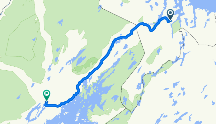
Cycling Route in Kirkenes, Finnmark Fylke, Norway
01: Kirkenes Airport - Kaamanen ( FIN )

Open this route in Bikemap Web
Distance
Ascent
Descent
Duration
Avg. Speed
Max. Elevation
Cycling Route in Kirkenes, Finnmark Fylke, Norway

Open this route in Bikemap Web
Radltag 1 ( 31.05.13 / Start ca. 21:30 und Nachtfahrt ):
Kirkenes Lufthavn - E6 - Abzw. 893 ( km 31,5 nach li. ) - Grenze FIN ( km 42 ) - 971 - Inar-Näätämo ( km 44 ) - diverse Park-/ Rastplätze an der Strecke - Syväranta ( km 69 ) - Kirko ( km 75 ) - Karsikoniemi ( km 110 ) - Partakko - Kaamanen ( Tante-Emma-Laden + Kneipe + Campingplatz mit Hüttenvermietung --> meine Rettung )
166 km / 715 hm ( barometr. ermittelt ) / Fahrzeit 9:23

You can use this route as a template in our cycling route planner so that you don’t have to start from scratch. Customize it based on your needs to plan your perfect cycling tour.